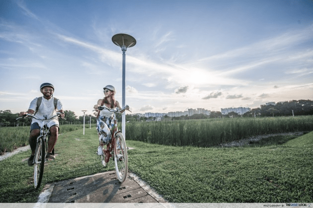
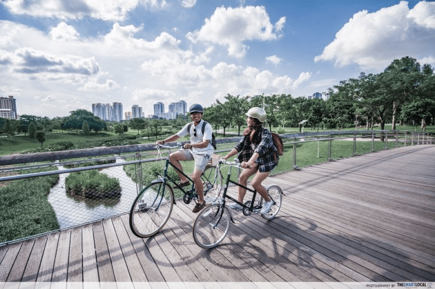
Long-distance cycling routes in Singapore
Spin classes have been all the rage recently but if you’re craving real outdoor adventure, cycling is a great way to access our many nature parks and reserves. Instead of hopping onto the same go-to paths you’ve tried time and again – no hate @ ECP-Marina Barrage route – try some long-distance cycling routes instead.
Below are some of the best routes in Singapore that stretch across different areas of Singapore, with plenty of attractions you can stop by to explore along the way. Think obscure corners of Seletar and the nature-filled roads of Mandai. Difficulty levels and route maps are also included.
Table of Contents
1. Kranji Marshes Loop – Less-crowded route by nature reserves
Distance: 70km (6-8h of cycling)
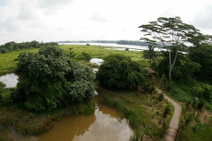
Image credit: National Parks Board
Unless you’ve spent 2 years at the receiving end of encik quotes, some places like Kranji or Choa Chu Kang wouldn’t be your typical spots to check out.
So if you’re having a case of FOMO, you can explore these places on the Kranji Marshes Loop. This 70km route is challenging with its number of inclined stretches, so you might want to prepare pain relief patches for your quads once you’ve conquered the route.
Image adapted from: Strava
Though it’s one formidable bike ride, you’ll at least have the benefit of peace and quiet, since this route sees relatively few people, especially after MacRitchie. You’ll be able to take in nature without much interruption.
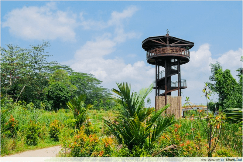
Do bring a camera along as there are interesting sights you’ll want to snap pics of, like Kranji Marshes where you can take a pitstop to explore on foot. There’s a ~11m-tall tower that’s ideal for birdwatching and taking in your surroundings.
Difficulty: Intermediate-Advanced
Route (loop): Bras Basah, Bukit Timah, MacRitchie, Upper Thompson, Mandai, Kranji, Lim Chu Kang, Old Chua Chu Kang, Bukit Batok, Bukit Timah, Bras Basah
2. Central Urban Loop – Heartland areas with makan spots for foodies
Distance: 36km (2h of cycling)

Image credit: NParks
Here’s a unique crossover for foodies and cyclists alike: the Central Urban Loop takes you around Singapore’s heartland areas via park connectors. The modest 36km route is definitely doable for newer cyclists. Plus, there are a few makan spots to stop along the way.
Hexagonal Bridge at Toa Payoh Town Park.
You’ll travel through several parks like Toa Payoh Town Park and Punggol Waterway Park – both of which have iconic structures like the Observation Tower and Sunrise Bridge respectively for IG-worthy pics. And if you’re up for a side quest, you can even fish at Punggol Park.
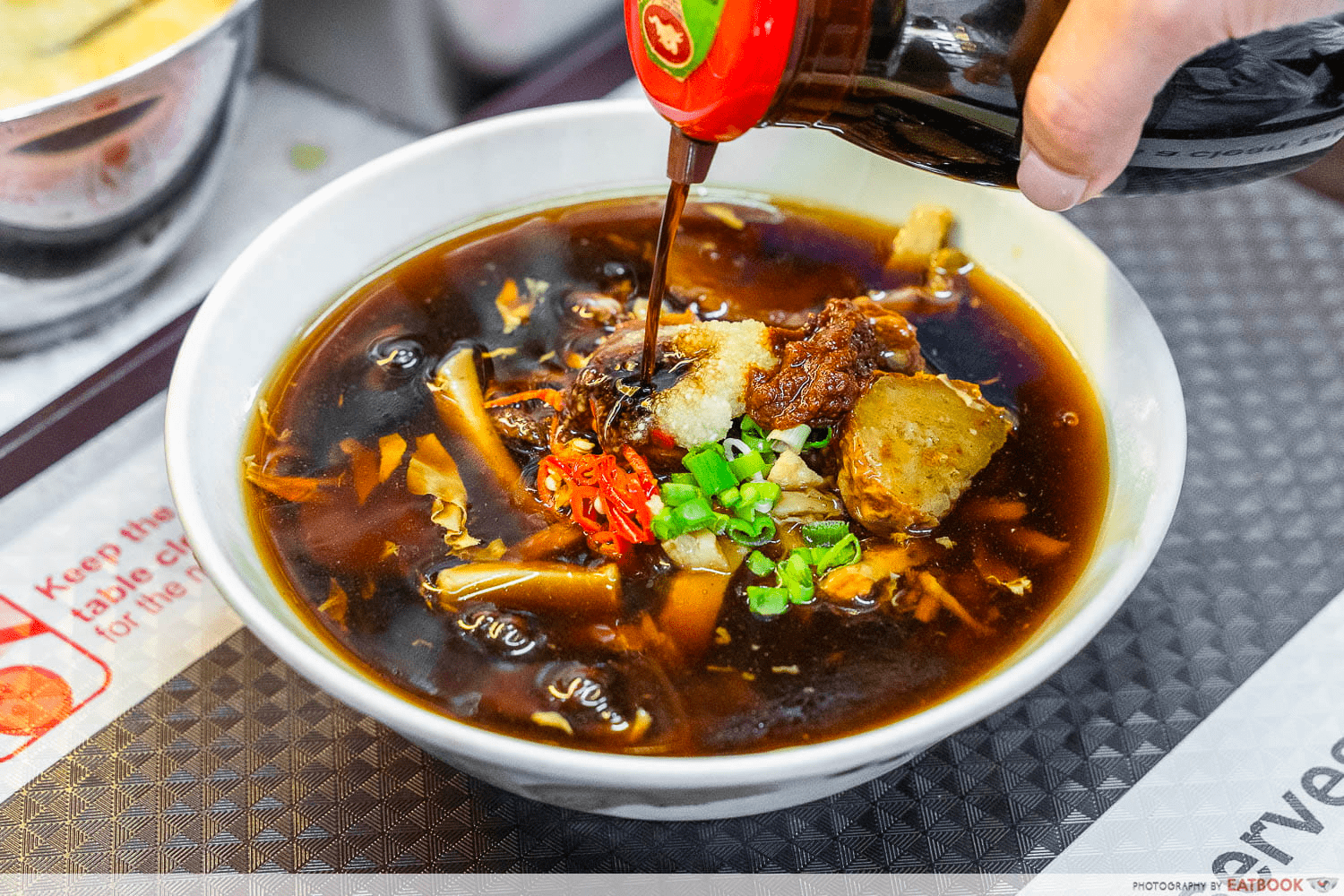
Lorong Ah Soo Lor Mee at Hainanese Village Centre.
Image credit: Eatbook
When it’s time to fuel up, there are several hit food stops which foodies will want to check out: Hainanese Village Centre and Circuit Road Hawker Centre both have a wide variety of local delights, including Lorong Ah Soo Lor Mee at the former, which has been around for 50 years.
Difficulty: Easy-Intermediate
Route (loop): Toa Payoh, Whampoa, Kallang, Bishan, Ang Mo Kio, Punggol, Whampoa, Toa Payoh
3. Rail Corridor – Scenic locations like sunset observation decks
Distance: 24km for the entire stretch (3-4h of cycling)
While we don’t have a set cycling route for the Rail Corridor, you can make your own trail via more than 40 different entry points available along the entire stretch. For more of a challenge, you can even ride the whole length of the corridor, which starts at the old Tanjong Pagar Railway Station and ends near Kranji MRT Station.
It’s a 24km route end-to-end, so take note that it’s double the distance if you want to make it back to the same starting point. Also, fair warning to newbie riders that there are quite a lot of inclined areas on this route.
Image credit: @filmz.y via Instagram
If you’re starting from Kranji, be sure to check out the new Rail Corridor North as well. Hop off your bike and trek southwards for tonnes of scenery, including a lookout point near Hillview. Speed demons may be a bit disappointed by the 10km/h speed limit on the Rail Corridor, but it’s a good opportunity to slow down and appreciate nature.
Difficulty: Easy-Intermediate
Route (North-South): Kranji, Mandai, Stagmont, Choa Chu Kang, Bukit Timah, Holland Road, Buona Vista, Bukit Merah, Tanjong Pagar
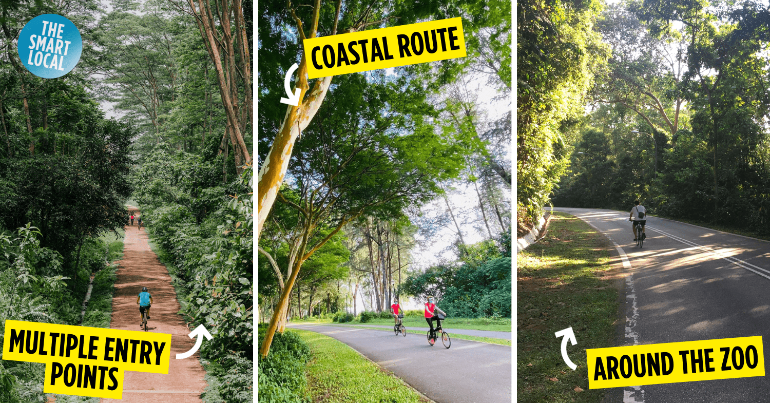
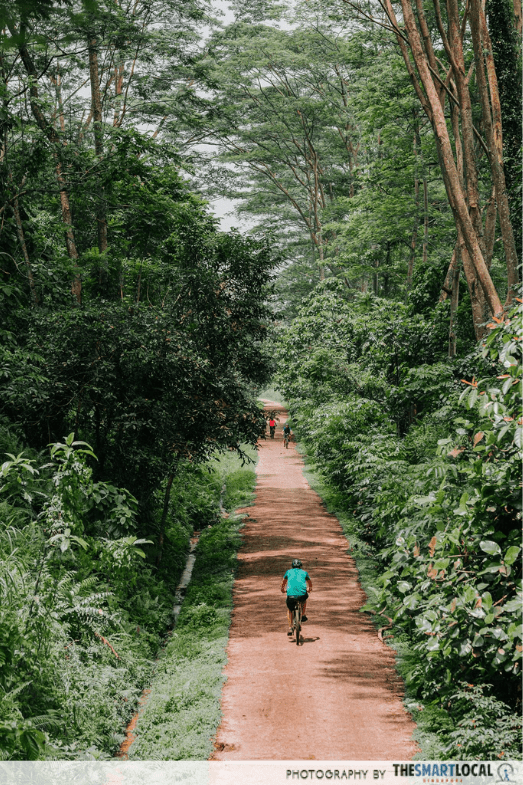
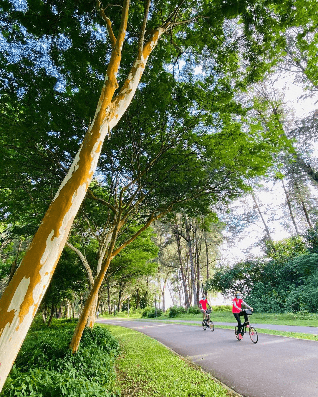
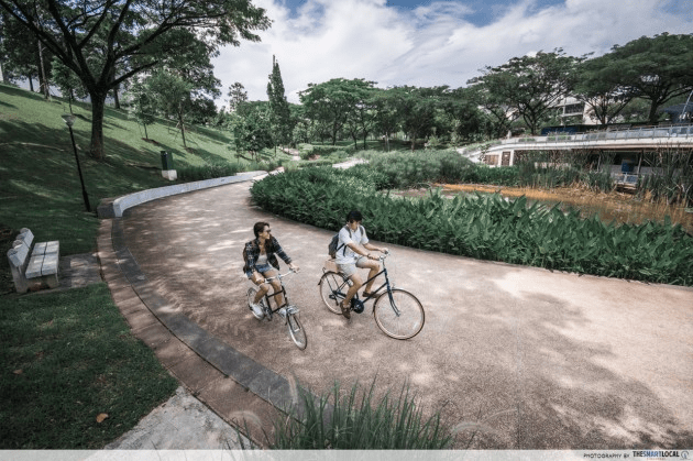
4. Mandai Loop – Nature-immersive route passing Singapore Zoo
Distance: 35km (2-3h of cycling)
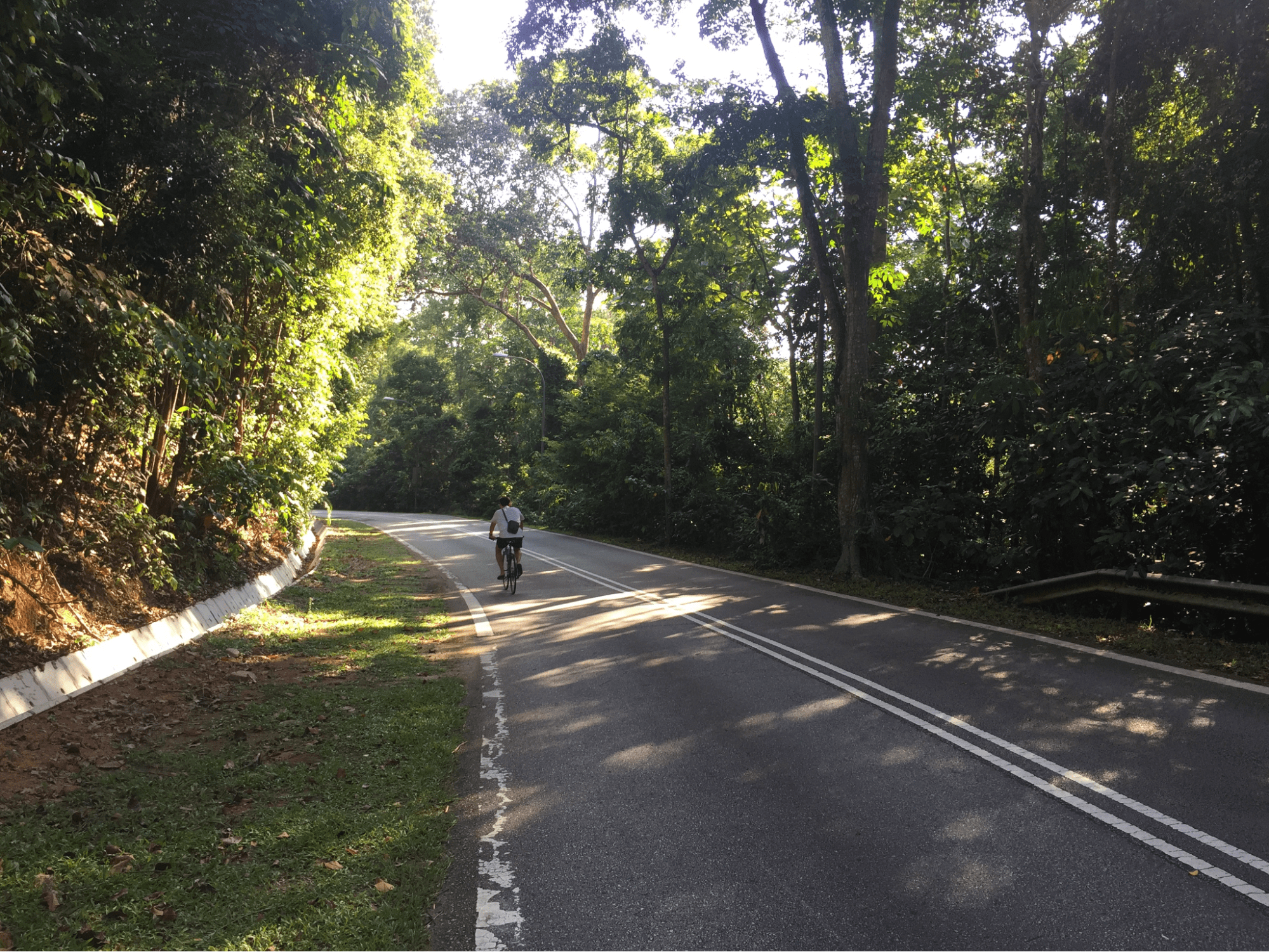
Image credit: Run Different SG
Open a map of Singapore and you’ll notice a giant patch of green right in the middle of the country – that’s where the Mandai Loop lies. A ride through this nature-immersive segment of Singapore will take you past Thompson Nature Park, Dairy Farm Nature Park, and MacRitchie Reservoir.
Spot the Singapore Zoo from afar as you go along.
Bikes go much faster than our legs can, so while the route sounds like a scary 35km, it can be completed in as quick as two to three hours. That means plenty of time to stop and smell the roses – or in this case, disembark and explore the area.
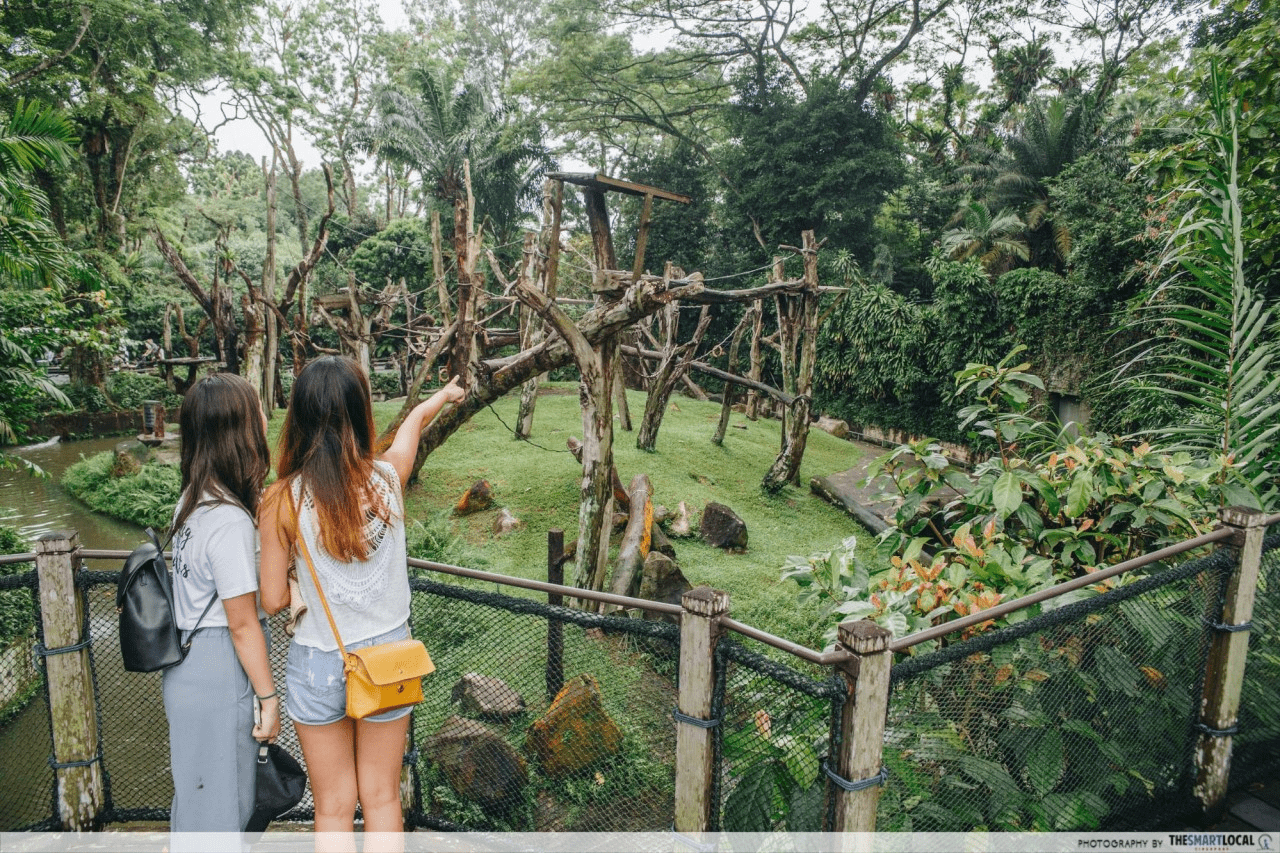
Folks with the time and energy to spare can consider parking their bikes to visit the Singapore Zoo, Night Safari, or River Wonders – all part of the Mandai Wildlife Reserve.
Difficulty: Intermediate-Advanced
Route (loop): Upper Thompson, Thomson Nature Park, Mandai Road, Bukit Panjang, Dairy Farm, King Albert Park, Lornie Road, Upper Thomson
5. Seletar-Thomson Route – Ulu Seletar Airport & reservoirs
Distance: 28km (3-4h of cycling)
The breathtaking Seletar Aerospace area is also an ulu one, lying far away from everything else. For cyclists, that makes it a great cycling route, seeing as you won’t have to weave around other passers-by or use that abysmally loud bell on your handle.
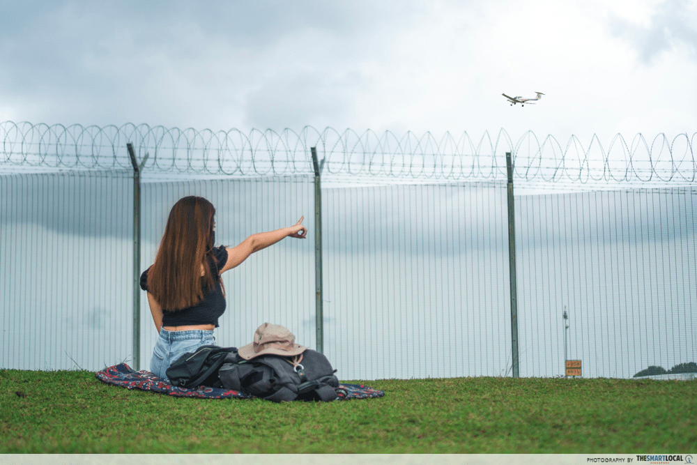
This looping trail takes you past the gorgeous Yishun Dam, scenic Lower Seletar Reservoir and cafe stretch along Upper Thomson. But best of all, the trail goes halfway around the Seletar Airport, where you can catch the occasional plane taking off into the skies from up close.
Pro-tip: Since many of these routes are loop trails, you don’t have to follow the designated start and end points. Pick whichever starting point is most accessible to you to begin and end your journey.
Difficulty: Intermediate
Route (loop): Lower Seletar Reservoir, Upper Thomson, Thomson Nature Park, Bishan-Ang Mo Kio Park, Ang Mo Kio, Seletar Airport, Yishun Dam, Lower Seletar Reservoir Park
6. Eastern Coastal PCN Loop – Cruise through the East at sunrise
Distance: 42km (4-8h of cycling)
Changi PCN.
Image credit: @kosala_89 via Instagram
It’s no secret that the East is home to many popular cycling routes, with East Coast Park, Changi and Bedok Reservoir. Cover these in one go with the extensive 42km-long Eastern Coastal PCN Loop.
Bedok Reservoir.
Image credit: SG Bike
Fully-lined from start to finish with a Park Connector Network (PCN), this is the perfect trail for fitspos with plenty of stamina but not much experience with outdoor cycling. You’ll get the best of a rewarding long-distance route, but without the worries of getting lost or anxiety of having to cycle on the main road.
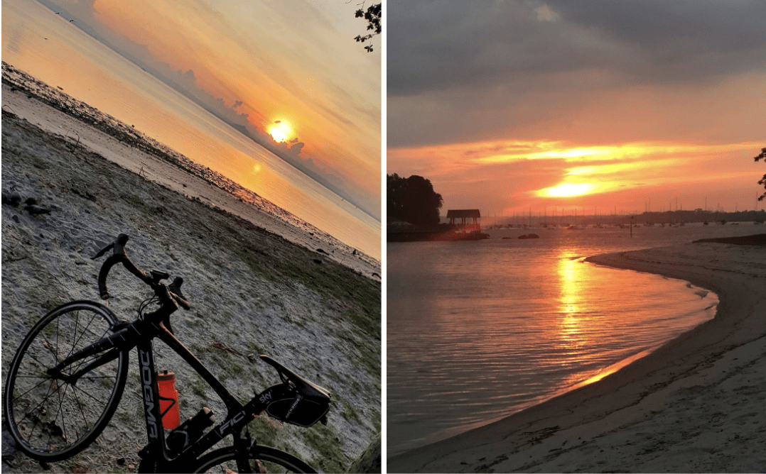
Sunrise at Changi Beach.
Image credit: @richardkwok68 & @artsycook007 via Instagram
Pro-tip: Try this route in the morning, as much of the stretch lines the eastern coast of Singapore, providing unblocked views of the sunrise.
Difficulty: Easy-Intermediate
Route (loop): Pasir Ris, Changi, East Coast Park, Telok Kurau Park, Bedok Reservoir Park, Pasir Ris
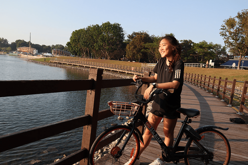
7. Northeastern Riverine Loop – Waterfront cycling trail
Distance: 18-24km (2-3h of cycling)
The North Eastern Riverine Loop is perhaps one of the more well-known routes in this article, but it’s nevertheless worth a visit if a waterfront ride sounds like your idea of fun.
Lorong Halus Wetlands.
The PCN in this area is pretty extensive, leading cyclists on a loop that goes around Punggol and Sengkang. Half the time you’ll be riding alongside the sea or a river, with waterfront parks like Sengkang Riverside Park and Punggol Promenade Riverside Park lining the way.
The loop is at least 18km-long, but we’ll recommend adding on short detours to the picturesque Coney Island and Punggol Waterway Park to make the journey all the more worthwhile.
P.S. Check out Punggol Container Park along the way to refuel.
Difficulty: Easy
Route (loop): Sengkang Riverside Park, Punggol Point, Coney Island, Lorong Halus Wetland, Punggol Waterway, Punggol Promenade, Punggol Park, Kampung Lorong Buangkok, Sengkang Riverside Park
Northeastern Riverine Loop map
8. CBD Loop – City skyline, best experienced at dusk
Distance: 21.8km (2-3h of cycling)
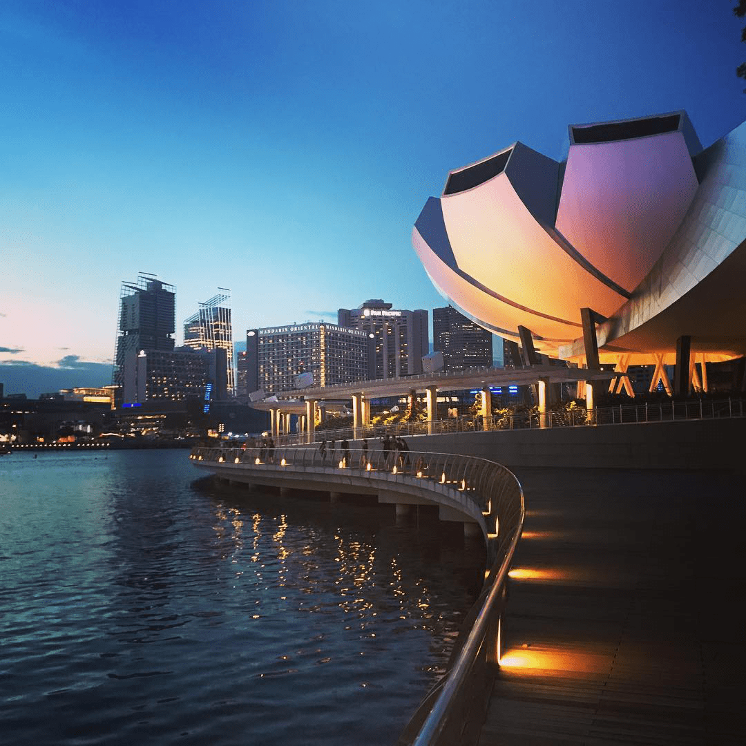
Image credit: @travel_link via Instagram
While it’s often worth waking up in the wee hours of the morning for an AM bike ride, the CBD Loop is something you’ll want to save for the evening instead. Also known as Friday Night Lights, this 22km route brings out the best of Marina Bay and the surrounding CBD area, especially once the sun starts to set.
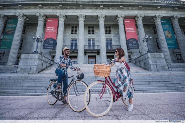
Civic District.
If you prefer sprawling cityscapes to endless nature, here’s where you can enjoy the glimmering lights dotting skyscrapers as you make your way around Marina Bay, through Orchard Road and down to Marina Barrage.
Difficulty: Easy-Intermediate
Route (loop): Marina Bay, Marina Barrage, National Stadium, North Bridge Road, Orchard Road, Marina Bay
9. Northern Explorer Loop – 11 parks and nature sites
Distance: 25km (2-3h of cycling)
Admiralty Park.
11 parks and nature sites are packed into the Northern Explorer Loop – a 25km stretch that offers constantly-changing landscapes. One minute you’re within the neighbourhood Admiralty Park and before you know it, sweeping vistas of Woodlands Waterfront lie before your eyes.
Say hello to JB at Woodlands Waterfront.
Northies will love this trail that brings cyclists along PCN pathways, from Sembawang through Yishun, with views of rivers, dams and gardens along the way. But even if you’re not from the area, the loop will provide a great change of scenery well worth travelling there for.
There are plenty of accessible start points such as Sembawang, Marsiling and Khatib MRT where you can hop off and look for pay-per-use bikes such as SG Bike.
Difficulty: Easy
Route: Admiralty Park, Woodlands Waterfront, Ulu Sembawang PC, Central Catchment PC, Yishun Park, Sembawang Park, Admiralty Park
10. Western Adventure Loop – Rocky Little Guilin & Bukit Timah
Distance: 20km (2-3h of cycling)
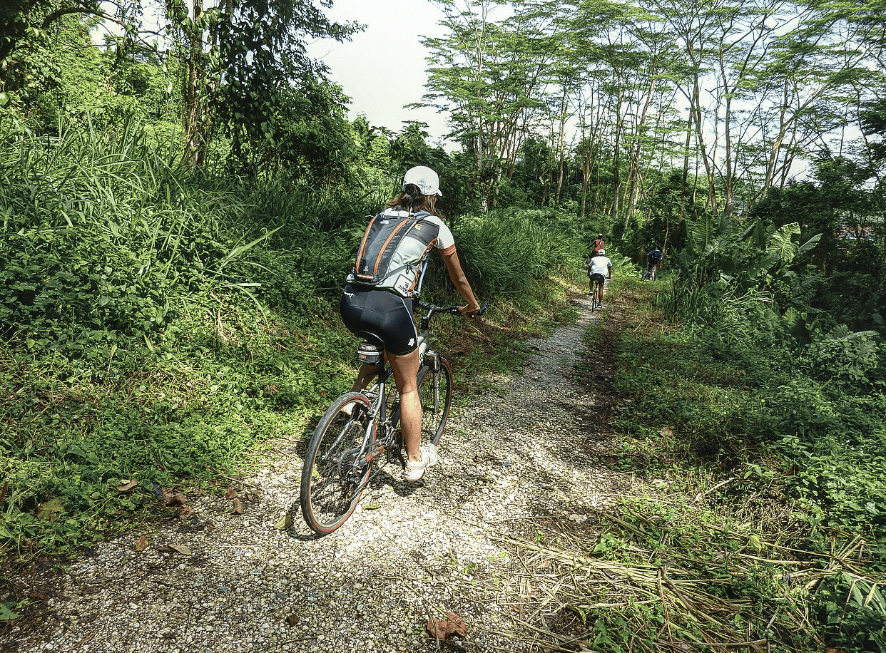
Image credit: National Park Boards
Bukit Timah Nature Reserve may be home to one of the tallest hills in Singapore, but that doesn’t mean that this route’s an arduous one. The Western Adventure Loop covers 8 nature parks in the area via PCN, and takes you past nooks and crannies you might otherwise never think of visiting – like the Primary 5 Adventure Camp destination of Dairy Farm Nature Park.
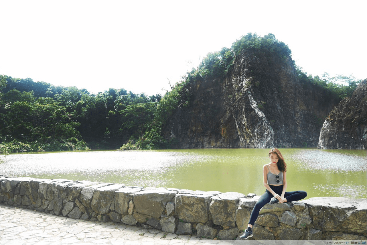
Soak in the views of lush greenery at the reserves before continuing on through residential areas like Choa Chu Kang and Bukit Panjang. No worries about the view looking too repetitive as the neighbourhood holds gems like the rocky facade of Little Guilin in Bukit Batok Town Park.
Difficulty: Easy
Route (loop): Ulu Pandan PC, Little Guilin, Bukit Batok Nature Park, Bukit Timah Nature Reserve, Dairy Farm Nature Park, Zheng Hua Park, Bukit Panjang Park, Choa Chu Kang, Little Guilin
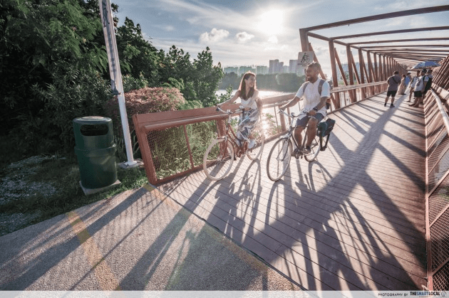
11. Coast-to-Coast Trail – Famous 36km route with mobile app guide
Distance: 36km (2.5-4h of cycling)
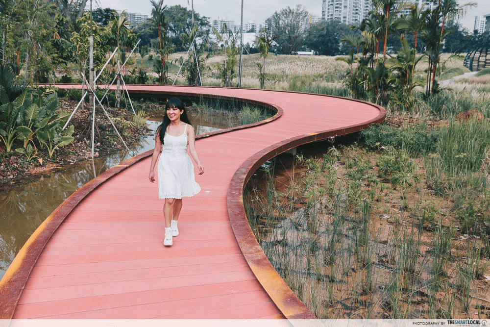
Plan for extra time to explore the super-gorg Jurong Lake Gardens.
We simply can’t possibly have an article about cycling routes without the well-loved 36KM Coast-to-Coast Trail. One thing that this route has that the rest don’t is an accompanying Coast-to-Coast Trail mobile app that’ll guide you through the extensive route with quests and AR features.
Cut through Bishan-Ang Mo Kio park.
Unlike many of the looping routes featured, the Coast-to-Coast Trail features a different start and end point. Start at Jurong Lake Gardens and end at Coney Island, or go the other way around.
Pro-tip: Consider renting a bike instead of bringing your own, so you can drop it off at the end point easily.
Difficulty: Easy-Intermediate
Route: Jurong Lake Gardens, Bukit Batok Nature Reserve, Hindhede Drive, Adam Road, Bishan-Ang Mo Kio Park, Sengkang Floating Wetlands, Punggol Waterway, Coney Island
12. Round Island Route – Conquer the whole of Singapore
Distance: 150km (10-11h of cycling)
Now for those who’ve got a bit of experience under your belt, the next thing you might want to challenge yourself to is the 150km Round Island Route. Not for the faint of heart – or weak of quads – this takes you round the perimeter of Singapore, covering everything from West Coast Park and Lim Chu Kang, to Woodlands Waterfront and Lorong Halus Wetlands.

Image adapted from: treknology3
Think of this as the mother of all cycling routes in Singapore. You’ll want to set aside a full day for this as the trip can take you anywhere between 10-14 hours. Alternatively, split the route into 2 or more days to complete.
One thing you’ll need to know before starting is that segments of the route, such as the Lim Chu Kang stretch, have no PCNs so be prepared to go on the main road. Make sure you’ve got your bicycle mirrors attached and helmet on for safety!
P.S. It’s also possible to walk the journey – read our article on walking the 150km Round Island Route.
Difficulty: Advanced
Route (loop): Coney Island, Pasir Ris Park, Changi Beach, East Coast Park, Southern Ridges, West Coast Park, Jurong Lake Gardens, Lim Chu Kang, Sungei Buloh Wetland Reserve, Yishun, and back to Coney Island
Long-distance cycling routes to try this weekend
For those who love exploring the far reaches of Singapore, cycling is a great way to do it while getting exercise in as well. These long-distance routes do require some muscle and a solid bike before you attempt them. While bicycle rentals are a great start, check out our guide to buying a bicycle in Singapore if you plan on conquering all 12 routes.
For more cycling guides:
- Lesser-known cycling routes
- Fun cycling routes in Singapore
- Neighbourhood cycling routes
- Obscure bike adventures
Cover image adapted from: @kosala_89 via Instagram, Run Different SG
Originally published on 26th May 2021. Last updated by Raiz Redwan on 16th May 2023.