Puaka Hill, Pulau Ubin
Hiking aficionados are lucky to have unique landscapes and lush parks in Singapore – like Keppel Hill Reservoir and the “Avatar Trees” – to conquer. Some might’ve even covered just about every inch of trekkable path in Singapore, and are on the lookout for more.
Think out of the box – or in this case, mainland Singapore – and set sail towards Pulau Ubin. Embark on a trip back in time to 60s Singapore, as well as a hike up the island’s highest viewpoint: Puaka Hill. Here’s how to get there and what to note for the hike:
What to prepare before hiking Puaka Hill
The hike up Puaka Hill is a short 10-minute trek – perfect for rookies who need not travel far to see a chio blue lake within Singapore’s borders. Plus, it leaves plenty of time to explore the rest of Pulau Ubin after.
That said, you don’t want to be hiking up in flip flops or sneakers. Proper footwear like sports trainers with a non-slip sole are still preferred, especially if you plan to hike after heavy rain. The dirt path up isn’t paved and will be muddy.
Here are other things you’ll want to bring along before visiting Pulau Ubin in general:
- Cash – most shops on the island only take cash. The nearest ATM is at Changi Village Hawker Centre, a 1-minute walk from Changi Ferry Point Terminal.
- Water – bottled water is only available near the jetty.
- Sunblock, insect repellent, and other medication, if needed.
How to get to Puaka Hill, Pulau Ubin?
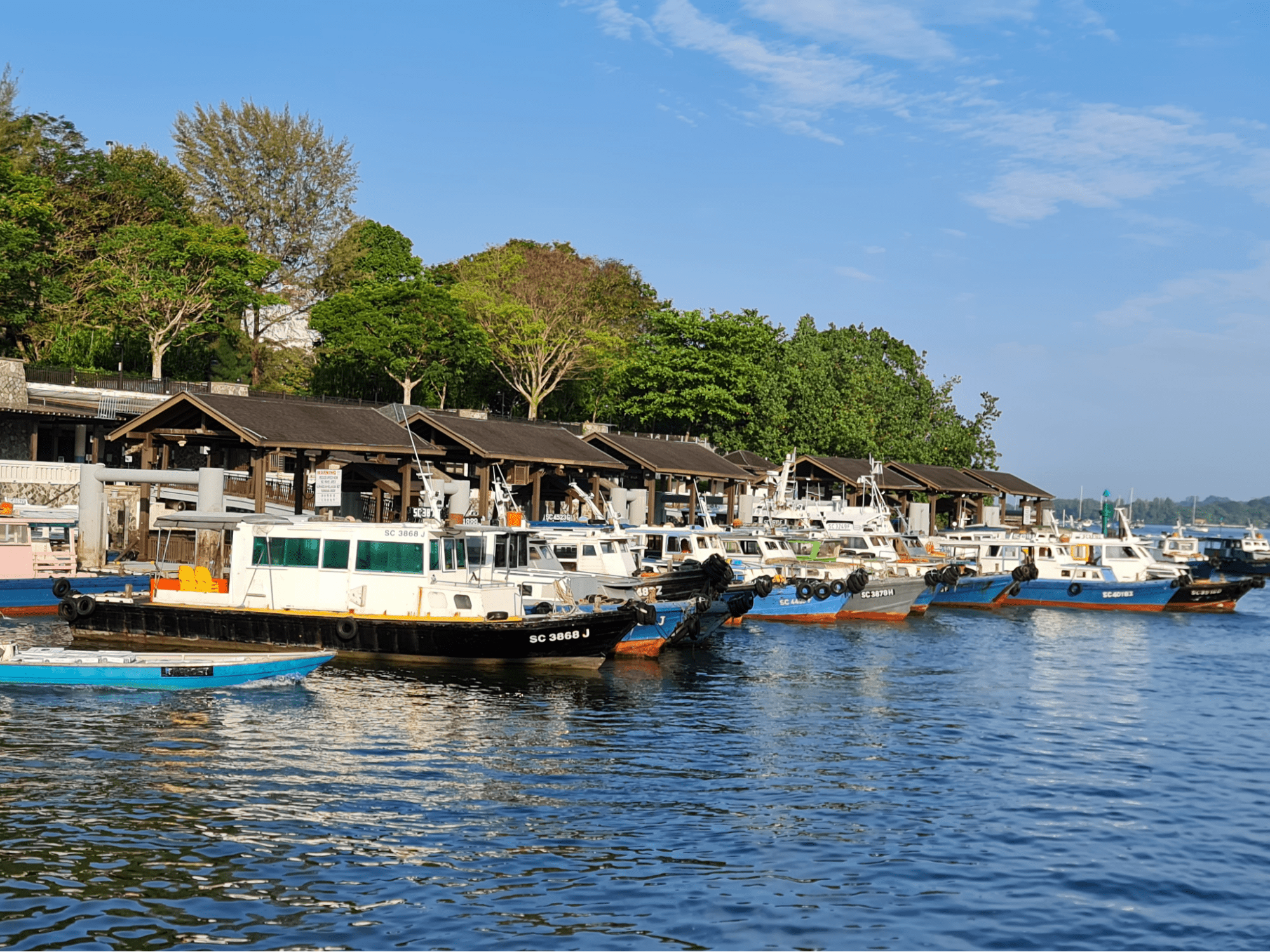
Several bumboats call at Changi Ferry Point Terminal daily.
Image credit: knots via Google Maps
First things first, you’ll need to get to Pulau Ubin. It’s a 10-minute bumboat ride from Changi Ferry Point Terminal. Early birds can even catch a ride from as early as 6am.
Prep $4/pax in cash for a 1-way ride to pay directly to the boat operator. Cyclists will need to fork out an additional $2 to bring their 2-wheeler to the island. Although you’ll be sailing “overseas”, there’s no need to whip out your passport here.
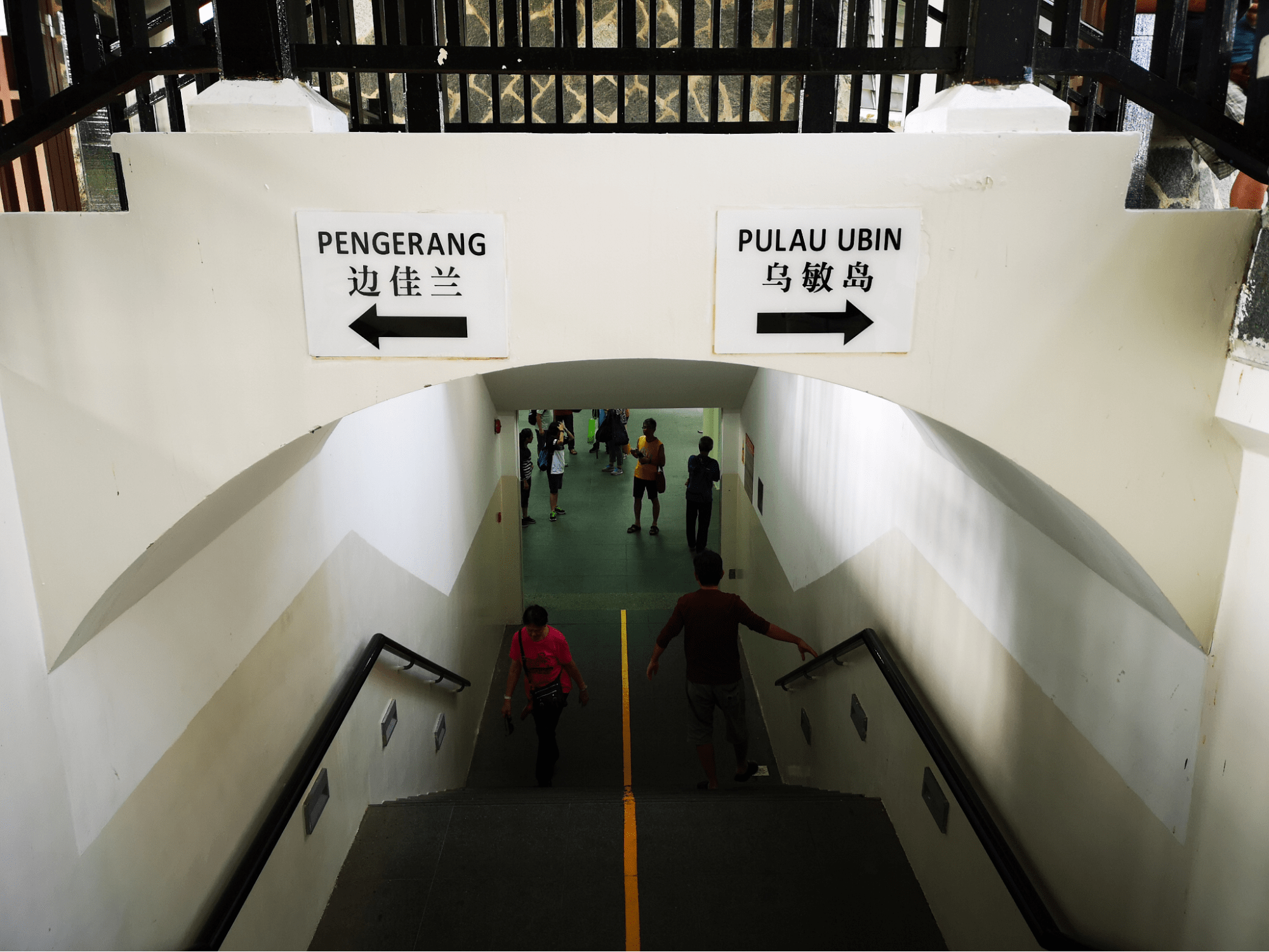
There are signs everywhere at the terminal so you won’t get lost.
Image credit: 邱繼學 via Google Maps
Each bumboat ferries 12 passengers, excluding the operator. And unlike MRTs or buses, there aren’t any schedules to follow here, so boats will only leave when 12 are onboard.
When planning your trip to Ubin, take into account the day of the week too, as weekends tend to see more travellers. It’s a blessing in disguise because you’ll be able to get to the island quicker with boats leaving sooner.
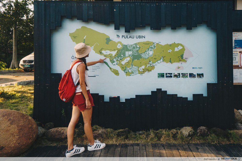
Look for a map of the island to orient yourself.
Once you set foot on the island, stretch your legs and you’re ready to get hikin’. Snap a photo of the map signboard which shows the types of paths on the island. Otherwise, your telco service will work just fine and you can access a digital version of the NParks map.
When in doubt, Google Maps.
How long is the hike up Puaka Hill?
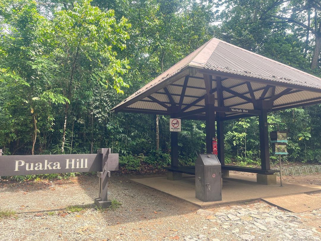
Image credit: @carol.f.hl via Instagram
The entire trail length is only 300m and won’t take you more than 10 minutes to climb up.
Begin the trek on a sealed road towards Merbah Hut, till you spot a large sign indicating the base of Puaka Hill, or Bukit Puaka.
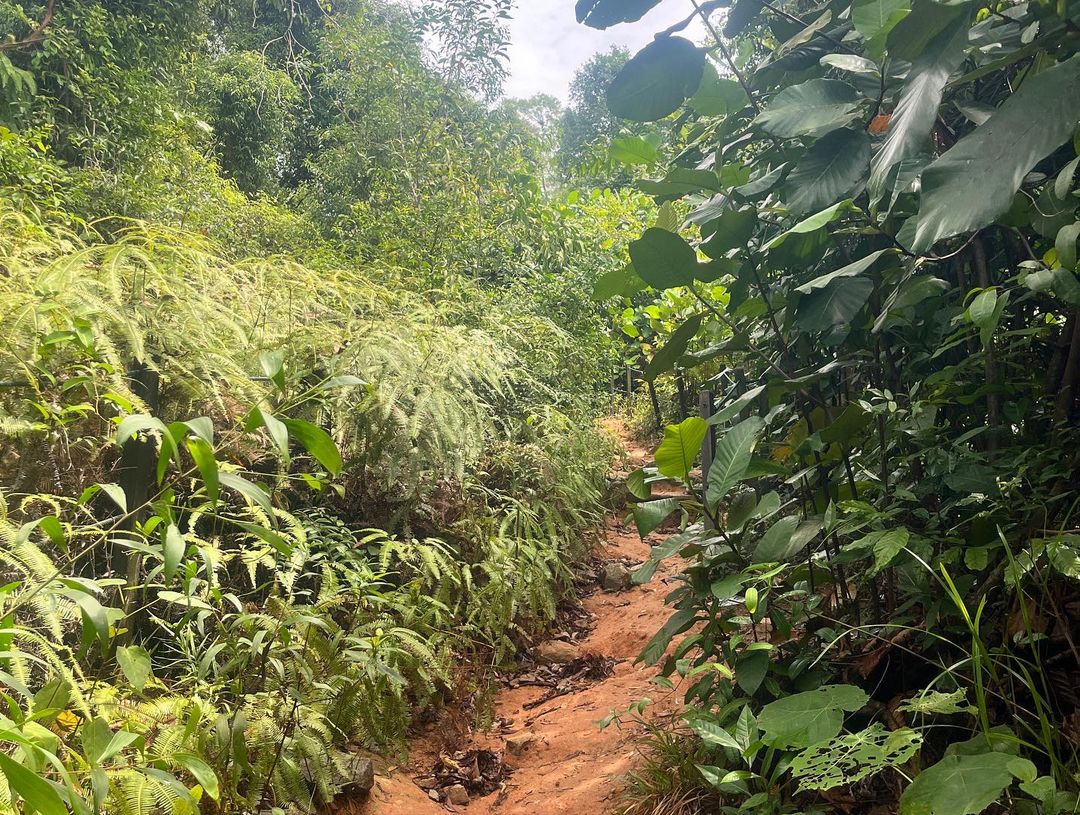
Image credit: @carol.f.hl via Instagram
From here on, it’s a dirt path to the peak. You won’t go wrong in following the beaten road, thanks to many others who have visited before. Make sure you’re doused in mozzie repellant as the pesky insects on the island can be quite merciless.
When you’re nearing the peak, you’ll be able to spot wooden fence posts. It’s slightly steeper here so it’s best to don shoes with a good grip.

It’ll be hard to resist snapping #wanderlust pics for IG.
Trail length: ~300m (10-minute hike)
Distance from Pulau Ubin Jetty: ~2km (10-minute cycle)
What can I see at Puaka Hill?
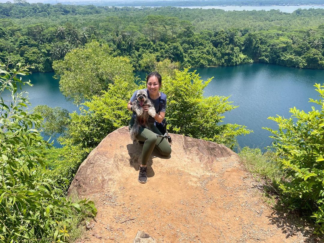
Our 4-legged pals are welcome to join in on the hike up too.
Image credit: @22xthefurrytons via Instagram
Once you’ve arrived at the peak, you’ll be treated to a view of Pekan Quarry from Pulau Ubin’s highest point of 75m above sea level. Like most quarrying spots, the body of water gives off an alluring blue hue because of high concentrations of minerals.

If the peak gets too crowded, stop by the 2nd-highest lookout point for a view that’s just as stunning.
Visit Puaka Hill at Pulau Ubin
Make your descent back to explore the rest of the island. There’s Chek Jawa Wetlands, with boardwalks to explore the mangroves surrounding the island. If you’ve brought your bike, check out the mountain bike trails at Ketam Mountain Bike Park; it’s got 3 levels for newbies to advanced riders looking for a challenge.
Quench thirst and hunger at Ah Ma Drink Store found near the entrance to the bike park. For something more substantial, go for Season Live Seafood, a zi char resto by the water’s edge, or Maleh Cafe, a quiet halal eatery.
There’s also lots more to explore around Pulau Ubin, like like
Find out more about Pulau Ubin here
Also check out these exercise and hiking trails:
- Walking and hiking trails in Singapore
- Bukit Timah’s hiking trails
- Waterside trails in Singapore
- Singapore’s Rail Corridor
Originally published on 27th June 2022. Last updated by Raewyn Koh on 4th May 2024.
