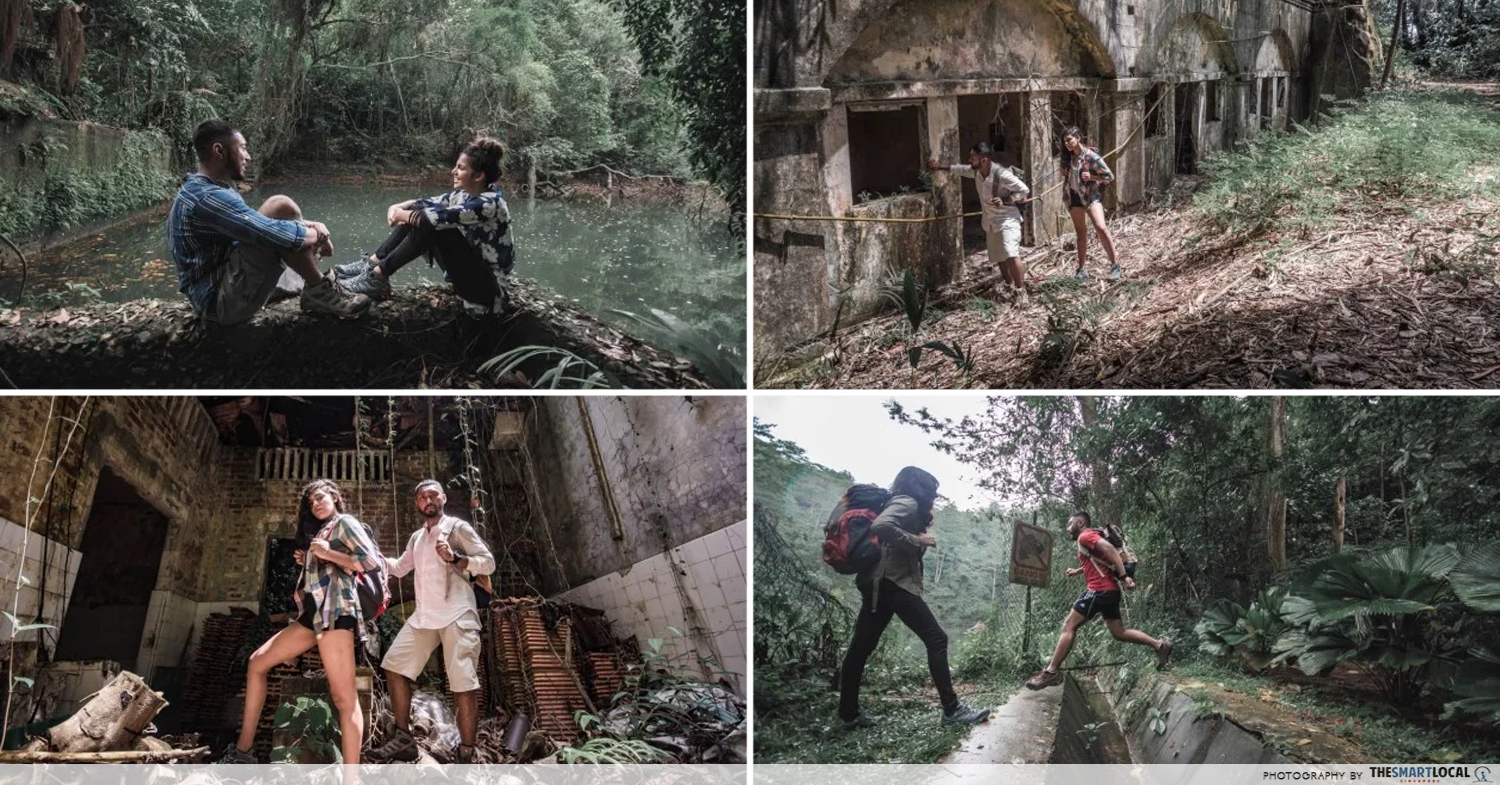
Abandoned fort trails in Singapore
Whether you’re an outdoor enthusiast or just a casual traveller doing it for the ‘gram, you can probably exclaim “been there, done that” whenever someone suggests Macritchie or Coney Island.
If you’re looking for new trails to tread – especially ones that have been abandoned for decades and consumed by nature – here’s a good place to start. From hidden quarries full of magical water to run-down monuments steeped in history, we travelled around Singapore to locate these five hard-to-reach places for you to be Indiana Jones-ing throughout the country in no time.
1. Fort Serapong
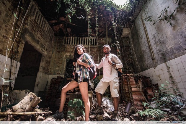
Everybody knows about Fort Siloso but few know about its less mainstream counterpart – Fort Serapong. With plenty of hidden monuments to discover at every corner, it’s easily one of the most rewarding destinations on this list to explore.
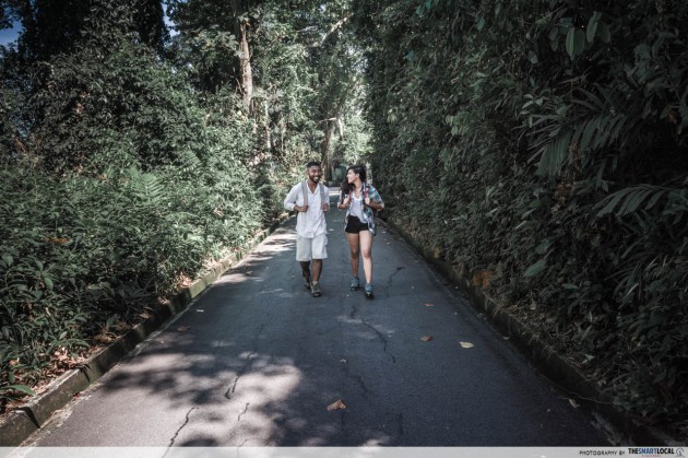
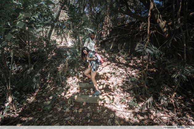
Its entry-point Serapong Hill Road isn’t listed on Google Maps and the 400m hike upwards may appear daunting, but the historical sights that you’ll uncover once atop more than warrants the effort. There’s a narrow road that leads to the fort itself so you don’t have to worry about treading uneven ground on your way up.
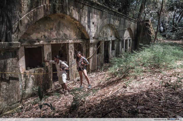
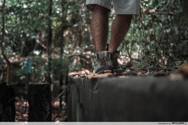
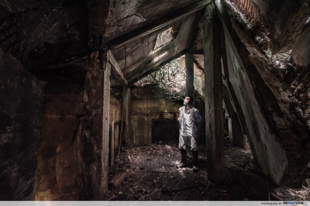
You’ll feel like you’re stepping into a lost world – entire bunkers, tunnels and batteries are left untouched – which, ironically, is snugly hidden in the middle of cosmopolitan Sentosa. Other than warning signs cautioning you to steer clear of unstable grounds, there are no official signs to guide you in. Don’t worry – the man-made path is straightforward enough to follow.
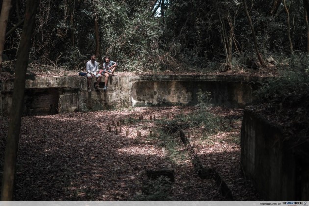
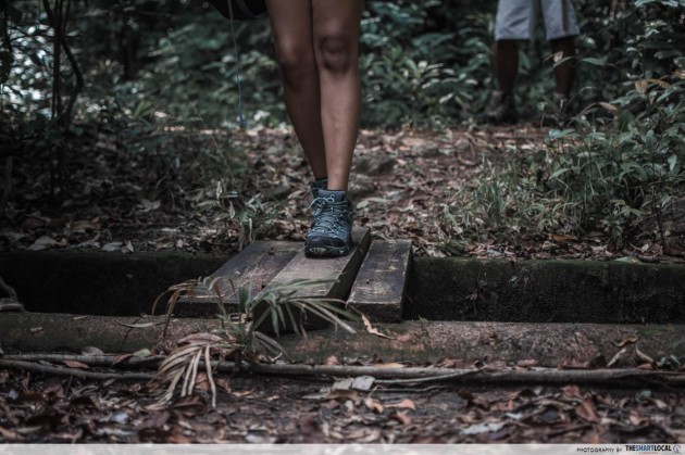
The ground once you’re inside is an uneven mix of broken concrete and rough dirt, with gaps and crevices aplenty. Make sure you look where you land your step to avoid holes and unstable ground.
Now mostly engulfed by the wilderness, it’s hard to believe that Fort Serapong was once an operational defence site for the southern coast of Sentosa (known then as Pulau Belakang Mati). Large sections of the fort remain unexplored – and boy is there lots to explore – so who knows what you might stumble upon during your visit.
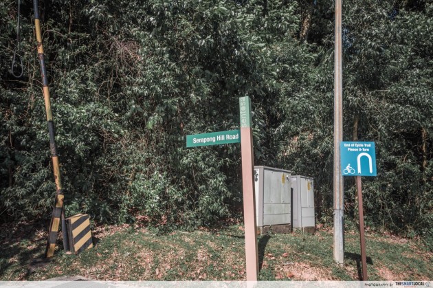
How to get there
Area: Sentosa, near Sentosa Cove
Entry Point: Serapong Hill Road, off Woolwich Road
Directions:
- Take the monorail from Sentosa Station at the third level of Vivo City and alight at Beach Station.
- Take Sentosa Bus 3 at the bus depot and alight at the “Sentosa Cove Village” stop.
- Walk upwards along Cove Ave and into Woolwich Road.
- Walk towards the sign that says “Serapong Hill Road” and make your way up the narrow road until you reach a more open area – This is the first accessible section of Fort Serapong.
- Once you’re done exploring here, continue on the road upwards.
- Avoid the fenced up utilities area and walk onto the grass on the left where you’ll find a man-made path that curves inwards.
2. Seng Chew Granite Quarry
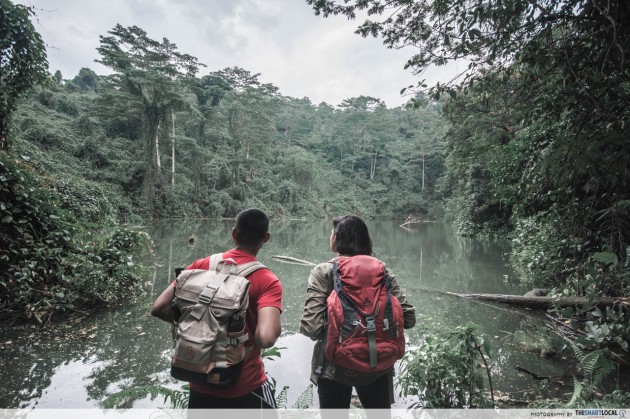
“Follow the longkang and you’ll find what you’re looking for” is pretty much all the direction you need to reach Seng Chew Granite Quarry.
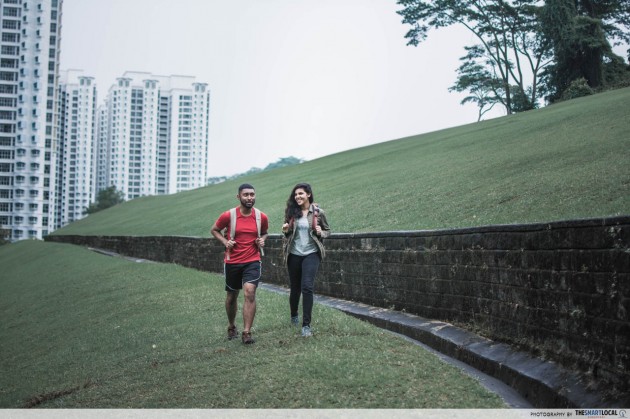
Enclaved within the jungles of Bukit Batok, you’ll never guess that this hidden gem is mere walking distance from an unassuming row of residential HDB flats.
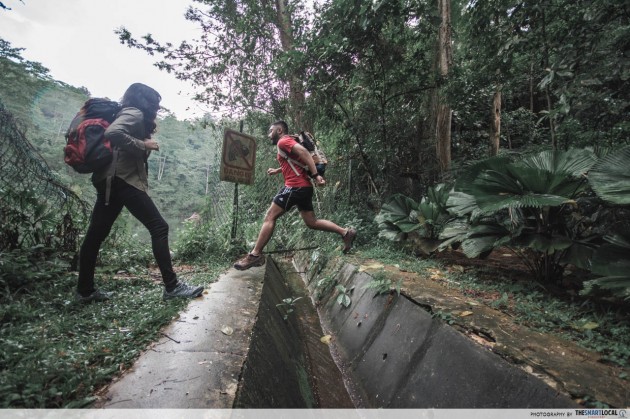
Once a bustling granite quarry, it has since become an abandoned freshwater lake. Here’s a fun trivia – It’s been said that the water which flows from this lake has magical qualities. Allegedly, winning 4D numbers have come from owners who wash their cars with the mysterious water.

The path leading into the the quarry is full of protruding rocks and damp grass. Be conscious not to take half-steps or hold on to loose vines for balance. Take a negligent step and you may very well find yourself right in the longkang and we’re willing to bet that the magical water won’t immediately heal you.
Bukit Batok may be known for the more picturesque Little Guilin quarry pool by its nature park but the views that you’ll get – before and after – entering Seng Chew Granite Quarry is definitely nothing to scoff at.
How to get there
Area: Bukit Batok
Entry Point: Behind Block 383, Bukit Batok West Ave 5
Directions:
- From Bukit Gombak MRT station (not Bukit Batok MRT station), exit towards Bukit Gombak Sports Hall.
- Follow the concrete path beneath the MRT tracks until you reach the first HDB flat – Block 383.
- Walk to the back of the Block 383 towards a mini garden and climb onto the slope of grass.
- Walk upwards along the drain and into the forested area for about 200m until you reach the partially-fenced up quarry.
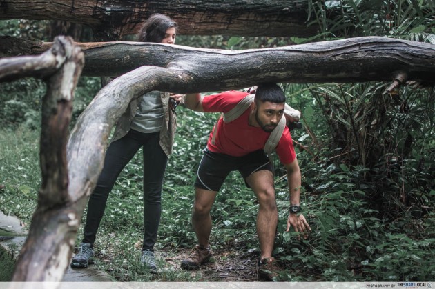
- Just before the fence, there’s an obscure man-made path on the right that leads upwards. It’s obstructed by treefall so we don’t encourage venturing beyond this point.
3. Keppel Hill Reservoir
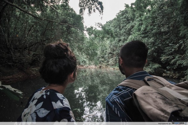
When you think of the general Keppel Bay area, images of luxurious residences and invite-only yacht parties come to mind. Keppel Hill Reservoir, located some distance away, may not possess similar atas vibes but it has its fair share of natural charm to justify a visit.
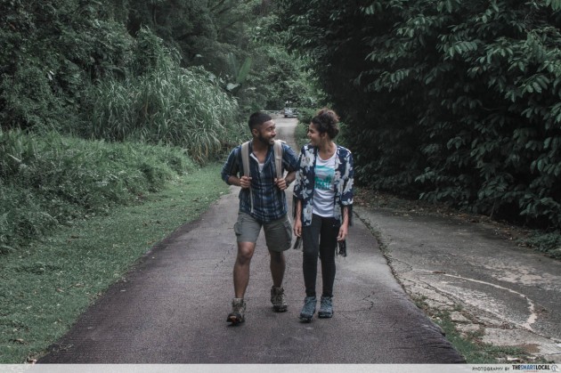
As with the rest of this list, there are no signs that will explicitly guide you there but if you keep to the path along Keppel Hill Road and the connecting man-made path, you’ll find distinct markers – like a white gate barrier and a blue dumpster – that’ll lead you in.
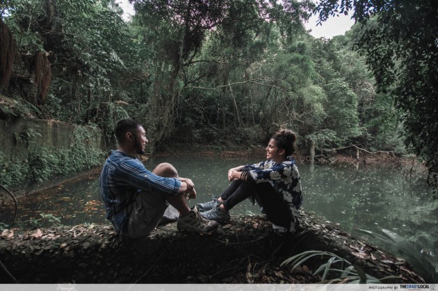
Keppel Hill Reservoir is literally a swimming-pool shaped reservoir. According to WWII illustrations, it used to be an Olympic-sized outdoor swimming pool.
Since then, it has served a few purposes – It was one of three reservoirs which served the residents of surrounding settlements and, a few years later, it provided a water source to the Tanjong Pagar Dock Company. Presently, it lies dormant and hidden amongst vast foliage.
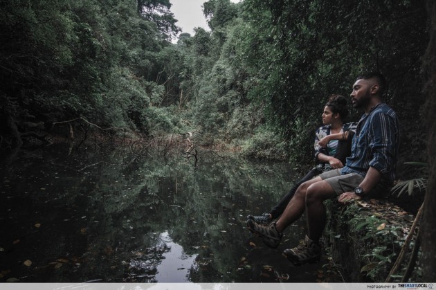
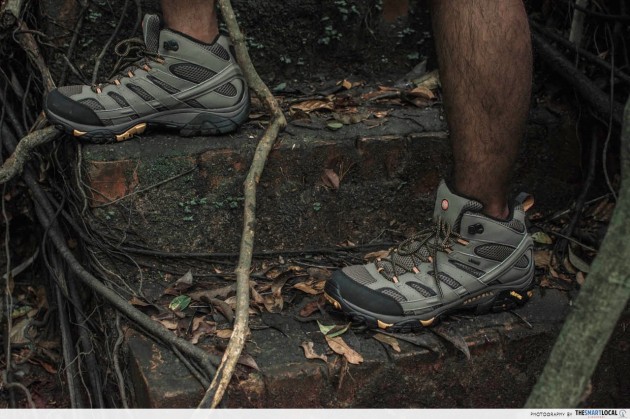
Traversing the grounds here will require walking down narrow steps and even duck-walking under decrepit structures. Fatigue might set in, but be sure to avoid sluggish trudging and dragged movement – you’ll want to protect your legs from sprawling roots and thorny branches.
Remnants of the swimming pool are still intact, albeit a little dilapidated. You’ll find things like a partial diving board, concrete steps and even a shower area. But don’t think of bringing along your swimming gear though. It may have once been a swimming pool but its still waters are now best viewed from afar rather than from within.
How to get there
Area: Between Keppel Bay and Mount Faber
Entry Point: Wishart Road, into Keppel Hill Road
Directions:
- From HarbourFront MRT station, exit towards HarbourFront Bus Interchange.
- Walk along Telok Blangah Road, past Seah Im Food Centre and Seah Im Carpark, towards bus stop “Bef Seah Im Road”.
- Continue forward and turn right into Wishart Road until you reach a sign that says “Joaqim Garden & Landscape (Keppel Hill Road)”.
- Follow this path upwards and you’ll walk by the entry to Joaqim Garden & Landscape on your left. Continue forward past a white barrier.
- You will see two paths before you – If you continue straight upwards, you’ll end up at a gate the leads into Keppel House No. 11. Instead, make your way towards the road on your left which slopes downwards.
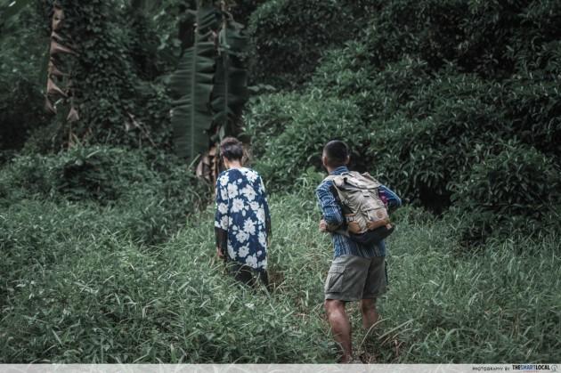
- Walk past the blue dumpster on your left and into the forested area on the right marked by banana trees.
- Follow the man-made path that winds about 200m inwards to the reservoir.
4. Seah Im Bunker
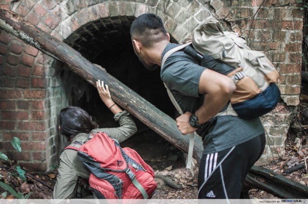
Here’s a 2-for-1 deal – If you’ve decided to make a trip to Keppel Hill Reservoir, you might as well include Seah Im Bunker in your itinerary. It’s just along the way.
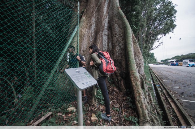
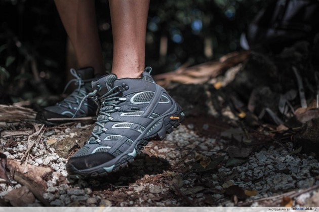
There’s a small drain located just after you pass the fence. The surrounding grounds is slippery and there are rocks and gravel all over so don’t rush your way in or make heedless jumps across the the drain.
Its location seems pretty random – 20m behind a large heritage tree by Seah Im Carpark. Its function is less so. It’s believed to have been used as either an air-raid shelter or a lock-up to hold prisoners of war.
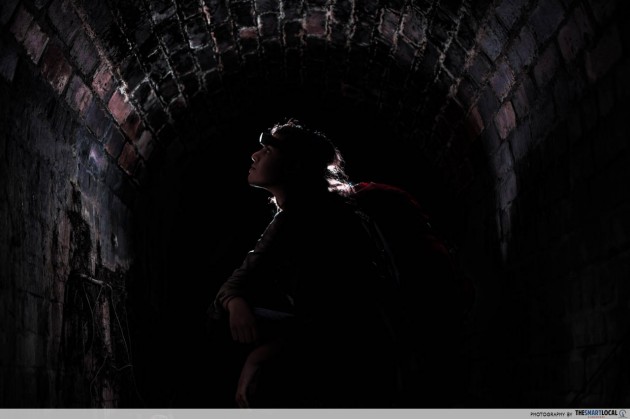
The interior of the bunker is pitch-black so it’s recommended that you bring along sufficient lighting. A single torch-light won’t suffice, especially given the uneven ground within the bunker itself. You might also come across some amphibian inhabitants – we enjoyed the company of various lizards and frogs during our rainy day visit. If you’re afraid of the the dark or easily squeamish but insist on going anyway, you’ll want to come prepared.
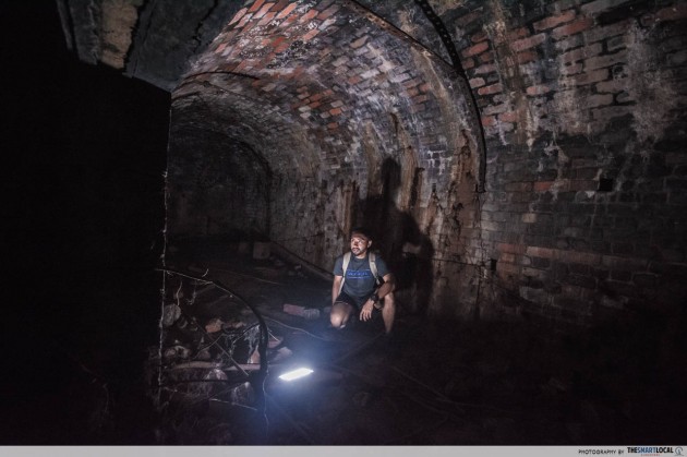
Think of Seah Im Bunker as beginner-level exploration; a kind of pre-cursor to the slightly more challenging Keppel Hill Reservoir.
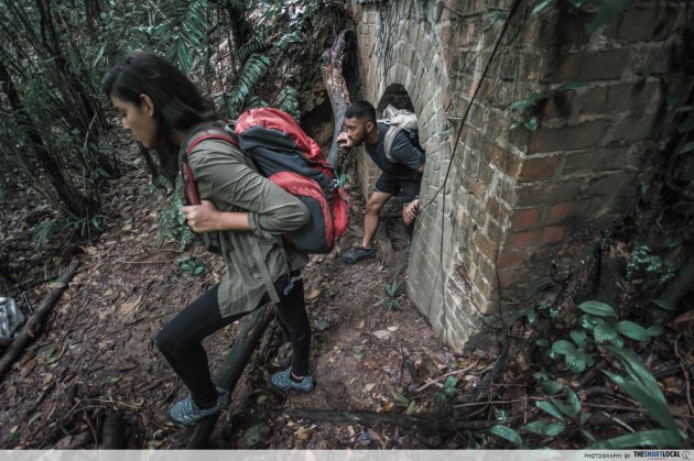
How to get there
Area: Between Keppel Bay and Mount Faber
Entry Point: A small opening between a fence and a large heritage Kapok Tree behind Seah Im Carpark
Directions:
- From HarbourFront MRT station, exit towards HarbourFront Bus Interchange.
- Walk along Telok Blangah Road, past Seah Im Food Centre and into Seah Im Carpark.
- Walk past the motorcycle area and follow the fence along the back of the carpark until you reach a large heritage tree.
- By this tree, there is a small installation by National Parks about the Kapok Tree.
- Behind this installation, slide your way between the tree and the fence. Be careful – there are thorns protruding from the tree bark.
- Follow the man-made path in about 20m from the tree towards the bunker.
5. Lalang Fields / Hidden Lorong Halus Dirt Tracks
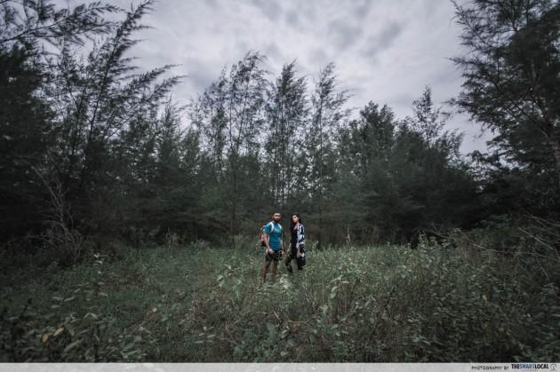
These two areas along the Punggol-Serangoon Reservoir might be slightly more well-known than the rest on this list but we travelled a bit further off the beaten track and found concealed areas that few know about.


The Lalang Fields are not uncommon but when you walk a little deeper into the fields, you’ll find yourself in a forested area that looks like you’re not in Singapore.
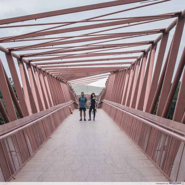
When you’re done exploring the fields and beyond, head over to the Lorong Halus Bridge. It’s essential for two things – Filling up your IG feed and getting to your next location.


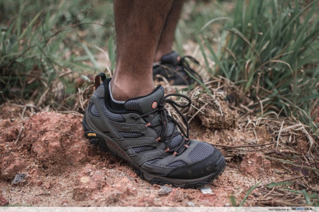
The hidden Lorong Halus dirt tracks can be found beyond the main wetlands vicinity. It’s accessible via a path along the nearby fenced-up area. Chances are you’ll catch sightings of wild boars and various exotic birds as you’re wandering around the meandering path.
Even if the area’s fauna eludes you, you’ll be able to see several paw and hoof prints if you look at the ground closely enough. The terrain here is mostly made up of dry ground and grass. It’s not tough to travel but the path does go in loops so you might find yourself walking a fair distance.

How to get there
Area: Punggol / Lorong Halus
Entry Point: Punggol end of the Lorong Halus Bridge
Directions:
- From Punggol MRT station, transfer to the LRT line and alight at Riviera LRT station.
- Take Exit A.
- Walk across the hard court and the mini-gardens behind it towards the Punggol Promenade Riverside Walk.
- Turn left along the boardwalk until you reach the start of Lorong Halus Bridge.
- From here, there are two main areas to explore.
Lalang Fields:
- Continue along Punggol Promenade Riverside Walk and cross the Sunrise Gateway bridge.
- Follow the boardwalk and you’ll find a man-made trail across the drain to your left – just before the forested area.
- Enter here and make your way in towards the lalang fields.
- If you’re feeling adventurous, enter the forested area and if you travel far enough, you’ll end up at one of three places – another part of the lalang fields, a reservoir or back on the boardwalk.
Lorong Halus:
- Cross Lorong Halus Bridge and explore the vast wetlands.
- Once you’re done, make your way diagonally for about 300m from the end of the bridge until you reach a fenced-up body of water with the sign “No Unauthorized Entry”.
- Walk along the fence towards the forested area and you will find a man-made path.
- Climb the path upwards until you reach an opening that leads to a dirt road.
- From here, walk the path at your own discretion – the dirt road loops back to the same area so it doesn’t matter if you start from the left or right.
Discover Obscure Parts Of Singapore
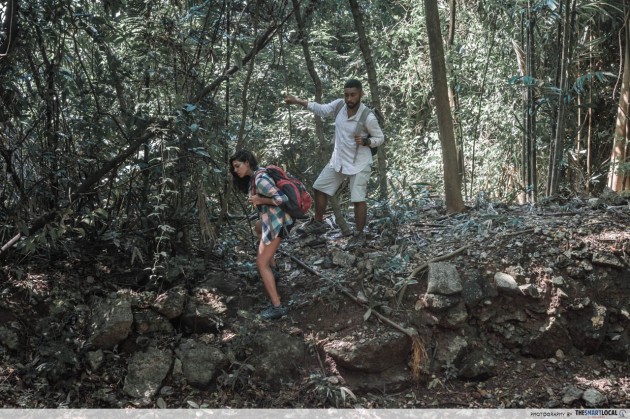
Singapore may seem like a tiny country but don’t let its size fool you – there is more to this country than meets the eye. If these five places prove anything, it’s that all it takes are a little bit of curiosity and breaking-of-sweat for you to uncover bygone territories.
The monuments that you’ll uncover along the way will provide you with peeks into history and first-hand encounters that you can’t get from normal geography lessons. And hey, it helps that these places also provide insta-worthy backdrops for your social media feeds.
Complete your adventure with Merrell

Nothing beats the security of putting on reliable footwear when you’re travelling on unpredictable terrains – be it on a gruelling hike or a casual nature walk.

It was raining during one of our trips so it came in handy that the underfoot of our boots utilize a patented Vibram TC5+ outsole. Some of the terrain was slippery and steep yet the boots never failed to maintain their grip.
These come in two types – The “Mid” range is suitable for those who prefer their boots with higher ankle support. If your feet are not accustomed to such a design, you can opt for the normal cut which shares all other functions as the Mid range.
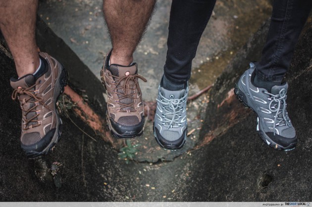
Merrell’s Men’s Moab 2 GORE-TEX® in Earth (left) and Women’s Moab 2 GORE-TEX® in Sedona Sage (right)
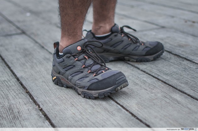
Merrell’s Men’s Moab 2 GORE-TEX® in Beluga
They also have hiking sandals which are perfect for those looking to have a casual hike through lower terrains.
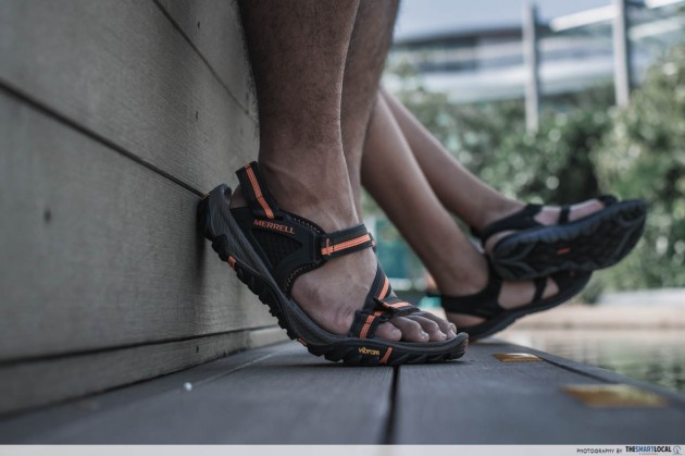
Merrell’s Men’s All Out Blaze Web in Slate Black (front)
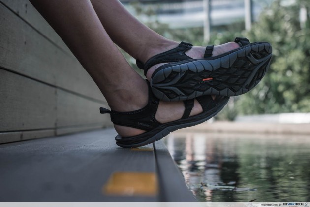
Merrell’s Women’s Siren Strap Q2 in Black
These sandals possess dual functionality – You can wear them for less-demanding hikes or you can choose to change into them after a day out in your boots for a more casual post-hike cool down. The Q-form® Comfort technology for women also provides engineered alignment thus adding more stability and support as you walk.

Merrell is the go-to brand for all outdoor enthusiasts and their products will definitely have you covered for all kinds of terrain, regardless of difficulty.
Find out more about Merrell here
Also check out:
- Hiking and walking trails in Singapore
- Bukit Timah hiking trails
- Route march hiking trails in Singapore
- Hiking at Puaka Hill on Pulau Ubin
This post was brought to you by Merrell.
