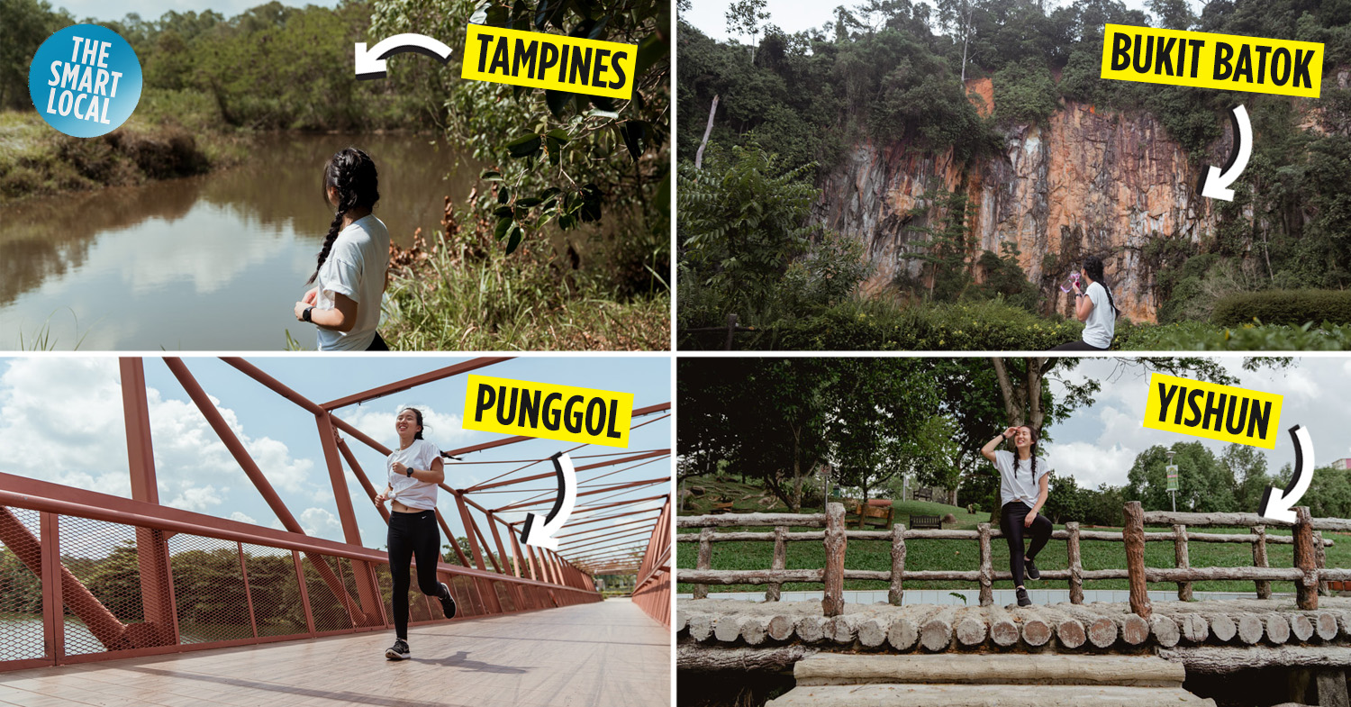
Nature running trails in Singapore’s heartlands
Even for someone as extroverted as me, serene nature spots serve as the perfect spot for some much-needed alone time. And in Singapore with our countless skyscrapers and bustling town centres, these places may seem impossible to find.
But tucked away in our heartlands are some nature routes that make you forget you’re still in the city – and we’re not talking about the places like MacRitchie or Fort Canning. Without any buildings in sight, you just have to enjoy the cool breeze and sounds of nature all around you – perfect for a recharge before you dive back into cosmopolitan chaos.
We even had a nifty running buddy – the Garmin Vivoactive 3 Music watch. Read on to find out how it came in handy.
1. Tampines Eco Green – ‘secret’ nature paradise in the East
It’s easy to have just passed by Tampines Eco Green without knowing that it was there – we were a little confused ourselves, seeing as there wasn’t much of a designated entrance for the park, making it a true hidden gem.
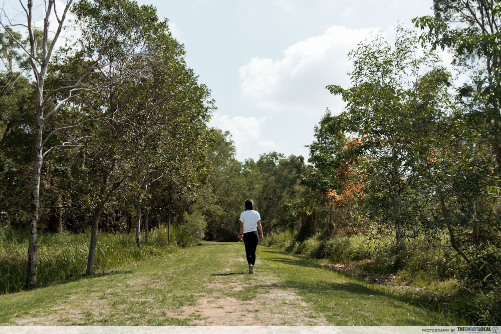
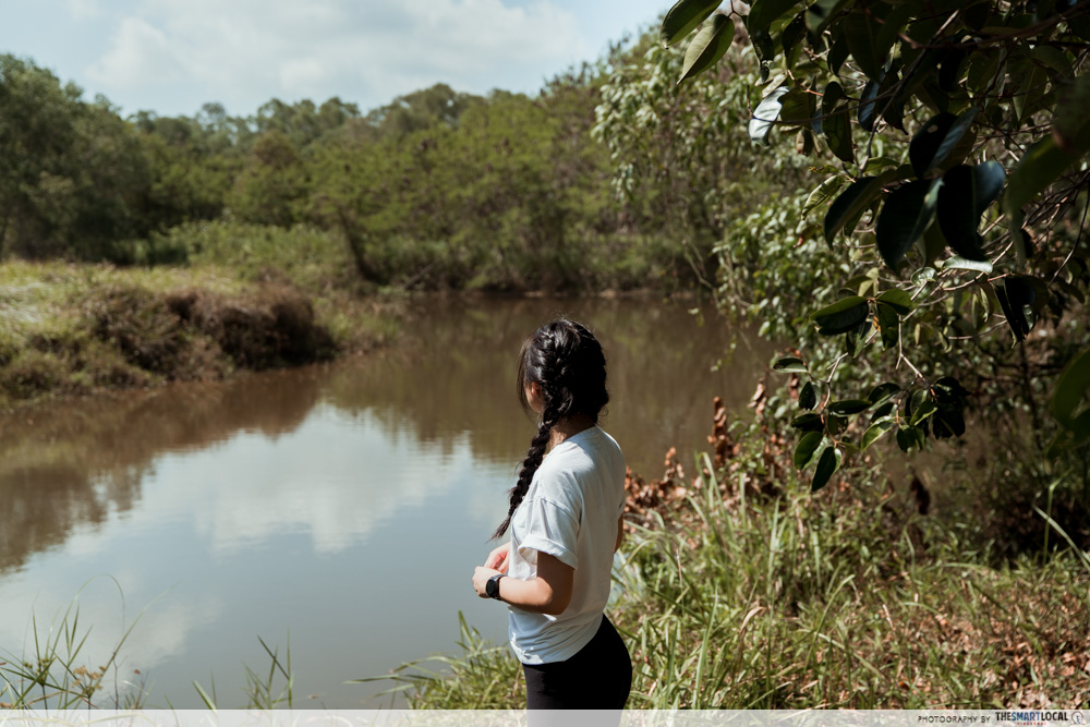
Once you’ve entered the park, you’ll feel as though you’ve been whisked away to a Winnie-the-Pooh style forest. With carpet grass covered footpaths in the park, you go straight from concrete jungle to just jungle alone. Keep an eye out for special birdies at the park’s very own natural ponds – there are 75 species of birds here!
This eco-friendly park has a ‘no lights after dark’ rule to preserve the eco-systems of the place too. So come on a weekend afternoon or do an early morning jog before work – it may just be what you need to kickstart an otherwise dreary morning.
And as strange as it may sound, you may want to check out the toilets here – aka the very first eco-toilet in Singapore’s public parks. Without any water or chemicals used in this toilet, the lack of a flush can be quite startling – bacteria and wood shavings do their job breaking down your business naturally for you. (Don’t worry, there are air fresheners!)
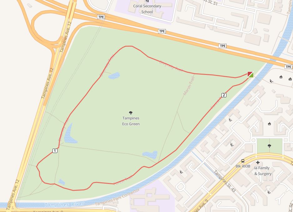
Route map here
Distance: 2.14KM
Difficulty: Easy
Terrain: Grass
Address: Tampines Ave 9, Singapore 520491
Getting here:
By MRT: A 20-minute walk from Tampines MRT station via Sun Plaza Park
2. Lower Peirce and Upper Peirce Reservoir Park – boardwalk views of the reservoir
Lower Peirce Reservoir is like an image torn out from a traveller’s Tumblr blog – clear waters that stretch out towards the horizon, stepping stone rocks gathered near the shore, and trees swaying in the evening breeze.

How stunning Lower Peirce Reservoir gets at sunset
Image credit: @fotog123
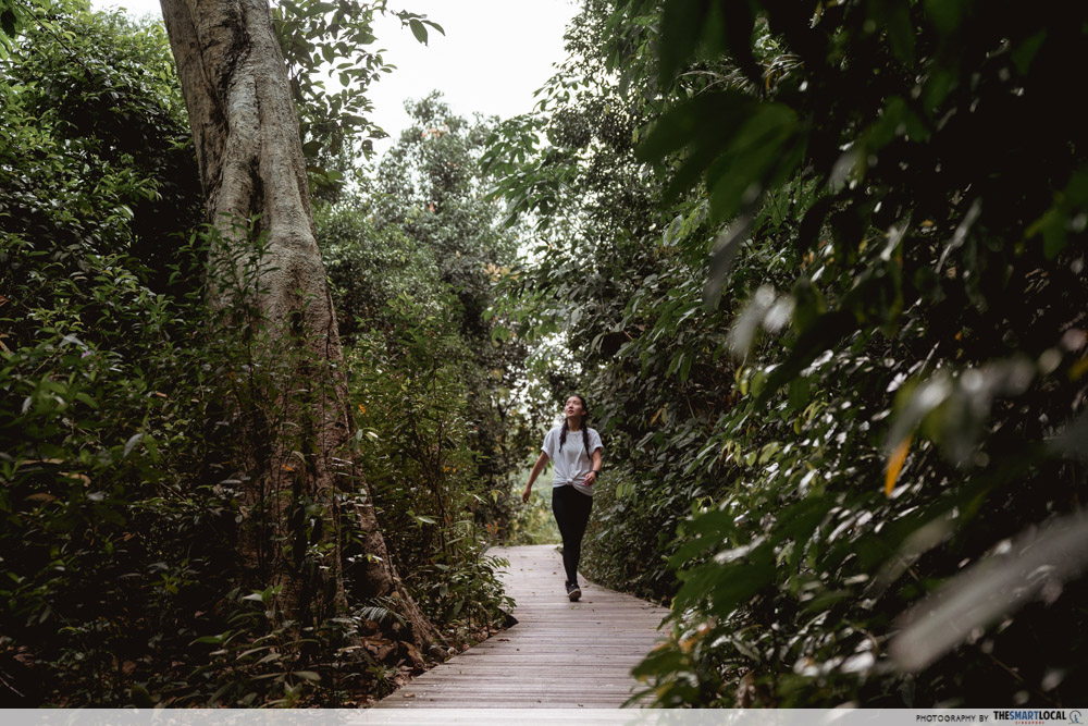
At Lower Peirce Reservoir, the straight path from the carpark will lead you to the reservoir itself. Along the way, we spotted many different monkeys and monitor lizards. Surprising, but nature, am I right? The meandering boardwalk will take you alongside the reservoir and back to the forested nature trail where you’ll be surrounded by trees over a hundred years old.

As #fitspo as we were, we decided to sit down and enjoy the view after a nice walk.
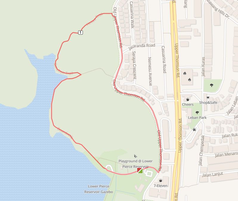
Lower Peirce Reservoir route map here
Hit up Upper Peirce Reservoir for equally pretty views of the reservoir – the tall forestry lining the running path will take you away from any worries from the stressful city life. The steep incline of the trails makes for a more rigorous workout sesh for those looking to challenge themselves.
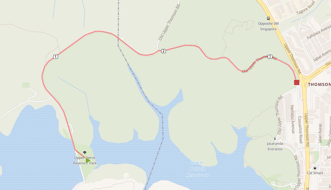
Upper Peirce Reservoir route map here
Lower Peirce Reservoir
Distance: 2KM
Difficulty: Easy
Terrain: Paved walkways, boardwalks
Address: Start your route from Adana @ Thomson, 8 Old Upper Thomson Road
Upper Peirce Reservoir
Distance: 3.33KM
Difficulty: Moderate
Terrain: Paved walkways
Address: Upper Peirce Reservoir Park, along Old Upper Thomson Road
Getting here:
By bus: Services 163, 167, 169, 855, 980. Alight at the bus stop near to Sembawang Hill Food Court and walk along Old Upper Thomson Road for about 5 minutes.
3. Bukit Batok Nature Park – WWII memorial park

Start on any trail from the entrance and head straight through the forest – the super tall trees made me feel like I was on a survival show
Bukit Batok Nature Park may seem a little out of the way, but that’s part of its charm – on some days, you can wind up having the entire park to yourself. Here, you’ll find both a running trail and a hiking trail that’s good for beginners.

There was no need to lug my phone around to listen to some music to pump me up for my run
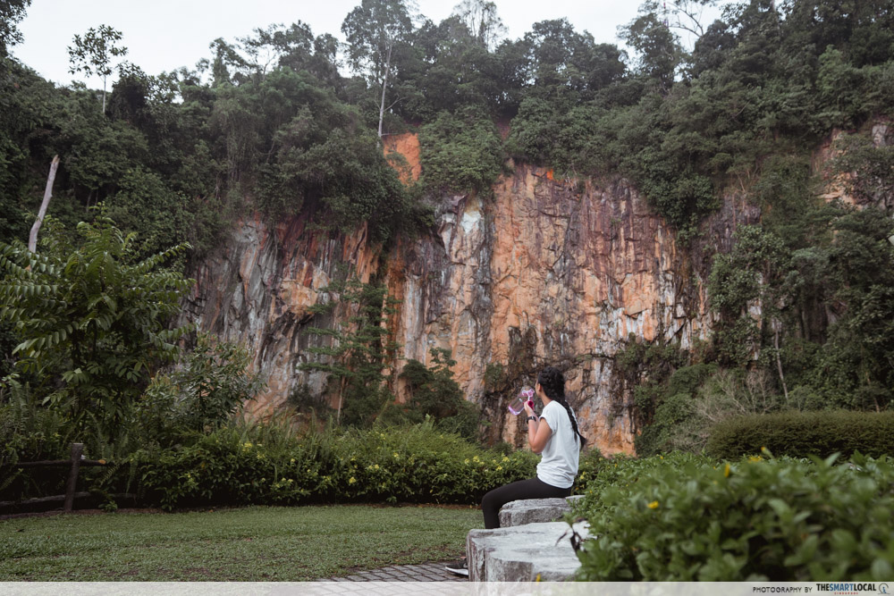
All trails will lead you to the quarry waters where enormous cliffs will make your jaw drop. It’s simply stunning in size, and we’ll take what we can get with Singapore having just about zero mountains.
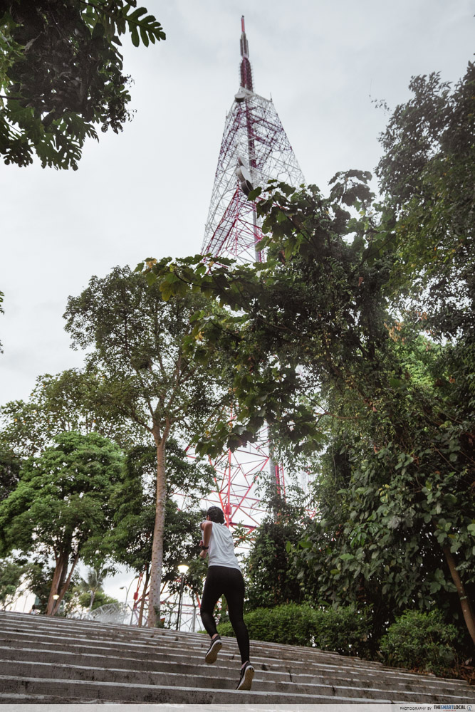
This isn’t just any ordinary park either. Some of the WWII battles had once taken place here, and this spot also previously served as a memorial park for fallen Japanese soldiers. Today, the memorial has been torn down, with an iconic red-and-white transmission tower taking its place.

Route map here
Distance: 3.62KM
Difficulty: Moderate
Terrain: Paved walkway, steep hilly inclines
Address: Corner Bukit Batok East Avenue 2 and Bukit Batok East Ave 6, Singapore 659761
Getting here:
By bus: Services 61, 66, 157, 178, 852 and 985 will get you to Bukit Batok East Ave 6
4. Windsor Nature Park – newest nature park with free nature tours
The lesser-known sister park of MacRitchie, Windsor Nature Park is the quieter option for those that want to venture out from the usual hiking or running spots. You can even hit up two nature parks in one day here if you take the longer trail and head straight to the TreeTop Walk at MacRitchie.
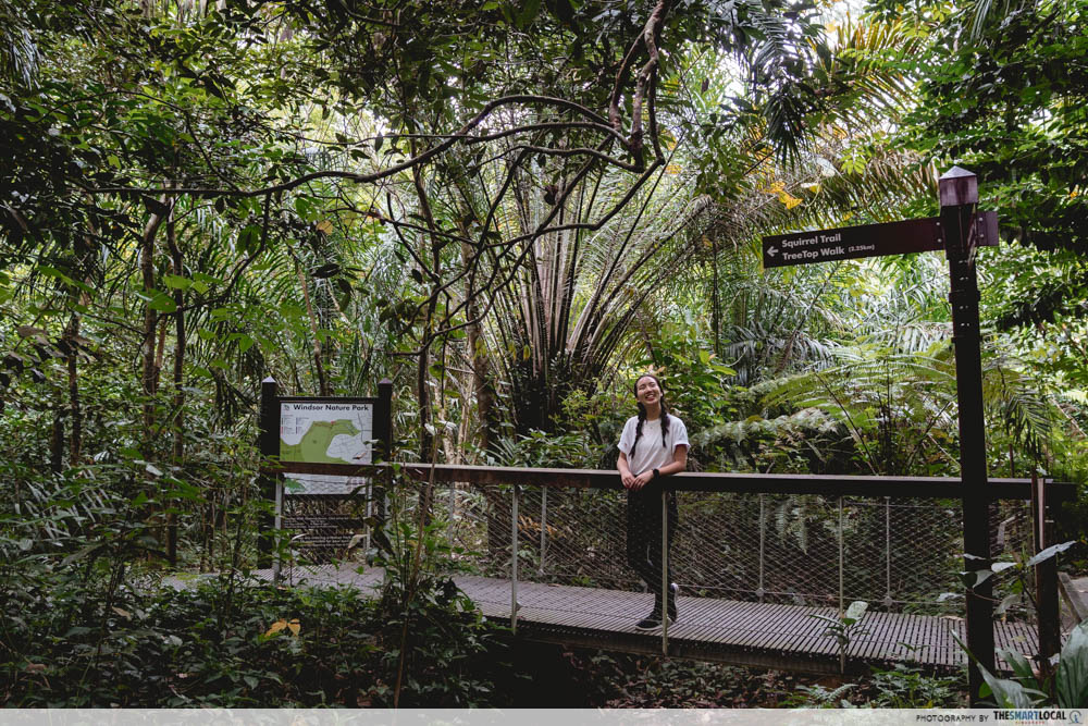
The newly-renovated park has a wide selection of trails for you to choose from like the Squirrel Trail with raised boardwalks and cobbled pathways where tranquil streams run.
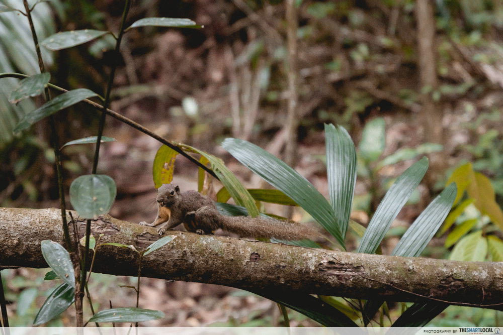
You might just spot an adorable squirrel or two on your run.
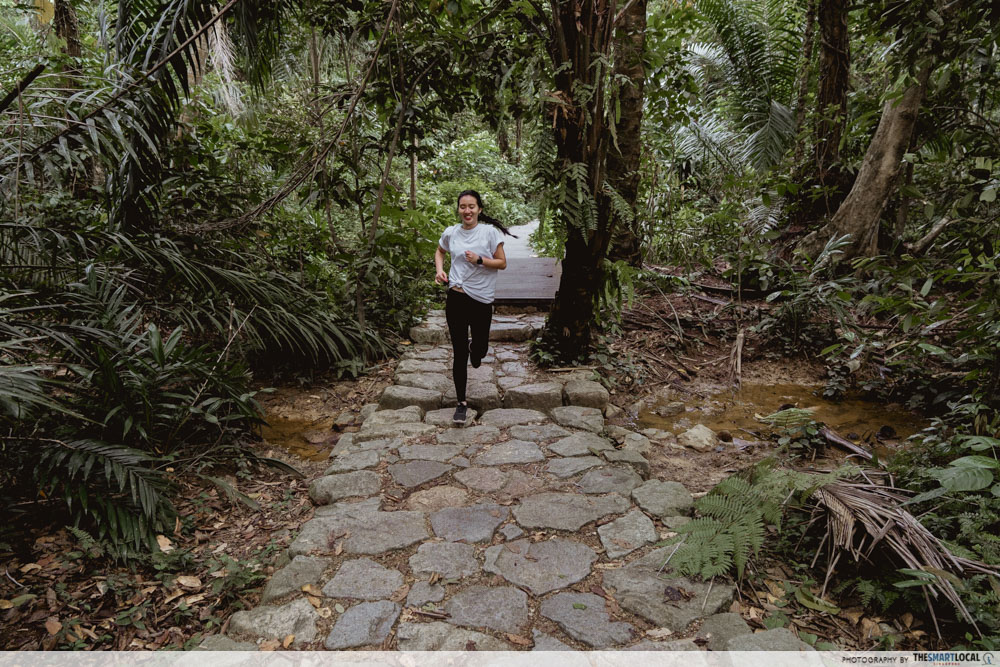
Consider joining in on some of the free nature tours conducted by NParks throughout the year, some of which include nature walks-cum-photography sessions. Nature-related workshops at the new visitor pavilion also allow visitors to learn more about biodiversity initiatives.
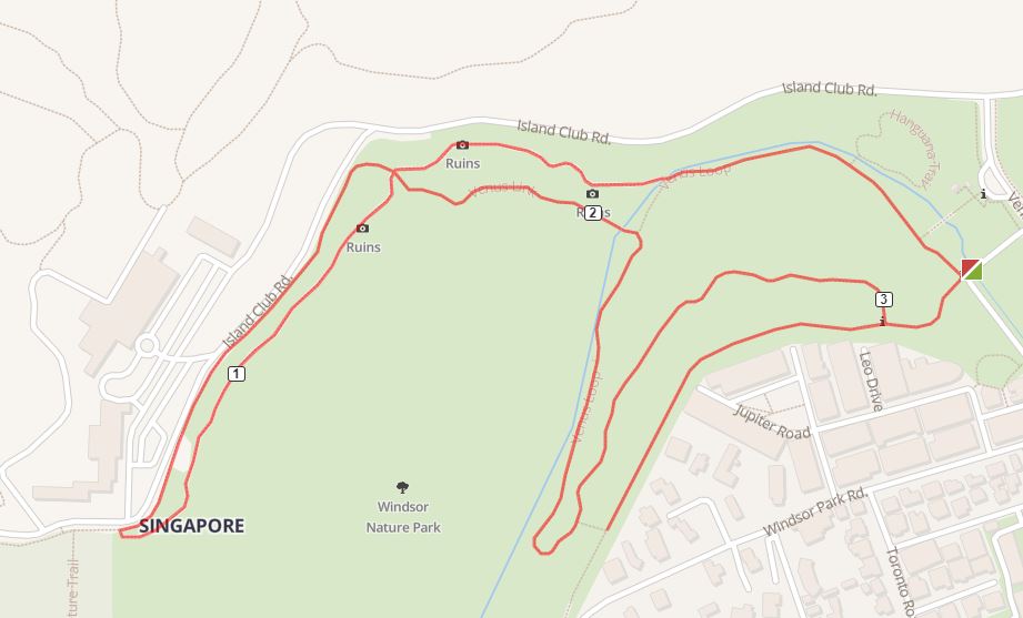
Route map here
Distance: 3.99KM
Difficulty: Easy
Terrain: Dirt path
Address: 30 Venus Drive, Singapore 573858
Getting here:
By bus: Services 132, 163, 165, 166, 167, 855, 980. Alight at Upper Thomson Road | Services 52, 162, 162M, 410. Alight at Sin Ming Avenue.
5. Lorong Halus Wetland – rubbish dump turned gleaming water treatment centre
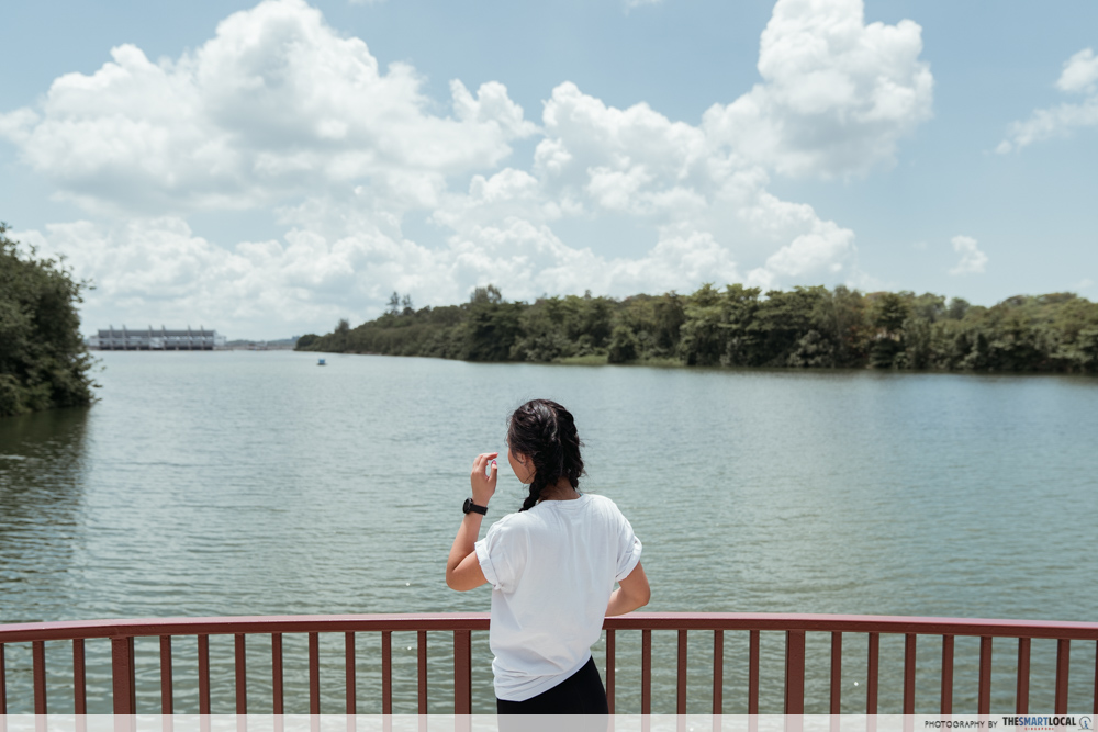
It’s no article about heartland nature spots if we don’t touch on Punggol – it already has Coney Island and Punggol Waterway Park under its wing. Now add in Lorong Halus Wetland – a beacon of hope that ugly ducklings can truly transform into swans. Once a rubbish dump, it is now a water treatment centre that provides clean water for all of us to drink.

From the entrance, you’ll see the pebbled fields with lalang-lookalikes.

After you complete your jog around the area, cross over to the bright red Lorong Halus Bridge towards the Punggol Promenade Riverside walk where you can extend your run beside the scenic waters.

Checking out how many steps I clocked in on the watch
At the end of your run, head over to Punggol East Container Park for a delicious bistro-dining experience to reward yourself for all the hard work.

Route map here
Distance: 1.52KM
Difficulty: Easy
Terrain: Paved walkway
Address: Lorong Halus
Getting here:
By bus: Services 3, 83, 85, 569. Alight at Block 166A, Riviera LRT station.
Nearest MRT: Riviera LRT (from Punggol MRT)
6. Yishun Neighbourhood Park – free-to-use workout equipment

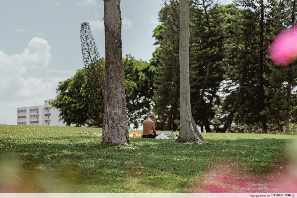
A hidden gem of the North, Yishun Neighbourhood Park is one place Northies don’t have to travel far and wide to get to. At first glance, you might not even know where the park is. But a persistent climb up the hill not only serves as a workout but also reveals a hidden nature paradise with shady trees and sprawling lawns that are great for chill yoga sessions or even frisbee games.

We were pleased to see that there was workout equipment on top of the hill we could use for free, which came in real handy for our warm down session.
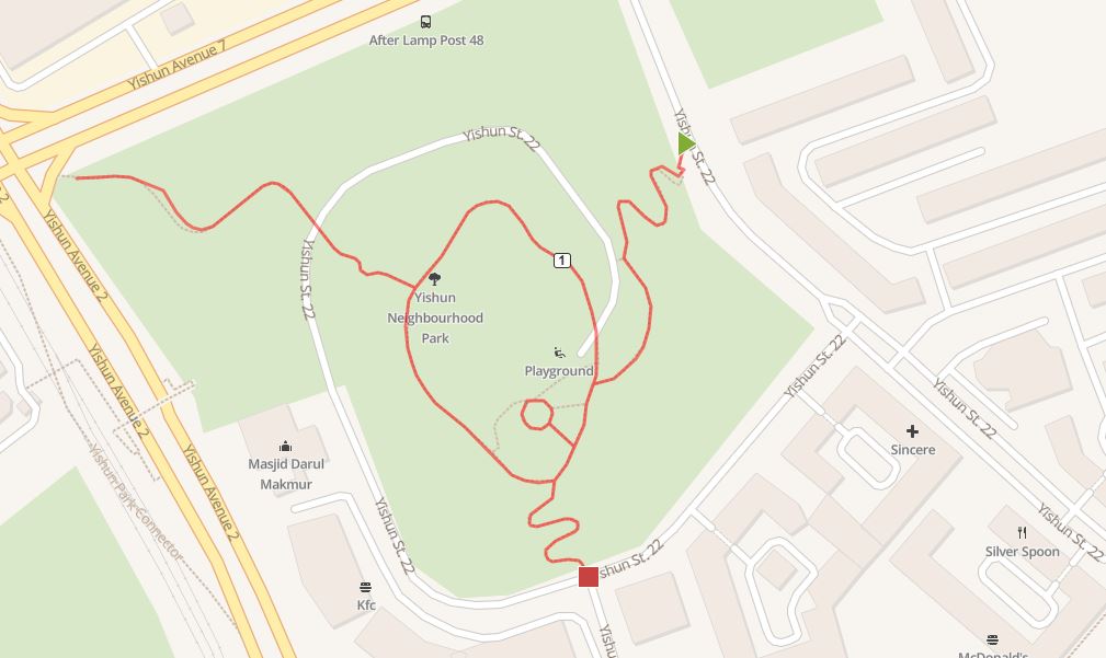
Route map here
Distance: 1.34KM
Difficulty: Moderate
Terrain: Paved walkway, steps
Getting here:
By MRT: A 20-minute walk from Yishun MRT
7. Ang Mo Kio Town Garden West
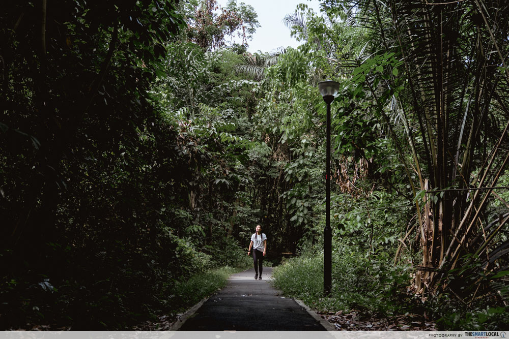
Ang Mo Kio Town Garden West’s hilly terrain is great for anyone looking to challenge themselves – the 120 stairs leading to the plaza area will be sure to get your heart pumping.
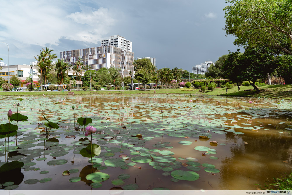
When you’re done with your workout, drop by the lotus ponds to relax
Swing by the nearby Kebun Bird Corner where you’ll find volunteers taking care of many bird cages hung up on flagpoles. Started a few decades ago when a group of bird owners decided to create a common space, the biggest Bird Singing Club now resides in the area.
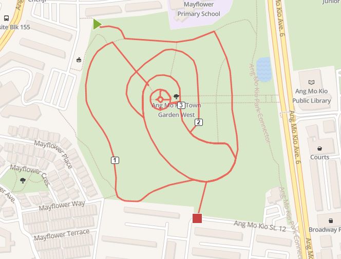
Route map here
Distance: 3.39KM
Difficulty: Moderate
Terrain: Paved walkway, steps
Address: Opposite Ang Mo Kio Town Library, Ang Mo Kio Ave 6, Singapore 567740
Getting here:
By MRT: 10 minutes walk from Ang Mo Kio MRT Station
Make your runs better with Garmin

For many, running is a great escape from the chaos of life – it’s always important to let yourself have a little #metime. These nature routes all across Singapore could be the little boost you need to recharge before you return back to reality.
When you head out for your jog, you don’t want to be bringing all your barang barang with you either – water bottle, phone, earpieces, wallet… the list can grow very quickly. Ditch the fuss and take the Garmin Vivoactive 3 Music watch with you for everything you need for your workout stylishly hooked onto your wrist.

The watch lets you store up to 500 of your workout songs so all you have to do is hook it up to your wireless Bluetooth headset and you’re ready to conquer the world. It even tracks key aspects of your workouts for you – such as your fitness age, heart rate variability and stress levels so you know when you need to rest.

You don’t even have to bring your credit cards or cash with you when you head out. With Garmin Pay, add your credit cards to your virtual wallet through the Garmin connect app on your phone. Now, whenever you have to pay, simply punch in your passcode to your watch and hold it near to the card reader – your life just got a whole lot more convenient.
Learn more about the Garmin Vivoactive 3 Music here
This post was brought to you by Garmin and the Health Promotion Board. You can find Garmin on the HPB365 app and use the watches to earn step challenge rewards.
Photo credit: Nadia Loewito.
